Click on a date/time to view the file as it appeared at that time.
| Date/Time | Thumbnail | Dimensions | User | Comment |
|---|
| current | 22:01, 10 December 2013 | 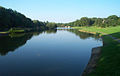 | 640 × 403 (48 KB) | Cropbot | upload cropped version, operated by User:Andy king50. Summary: cropped |
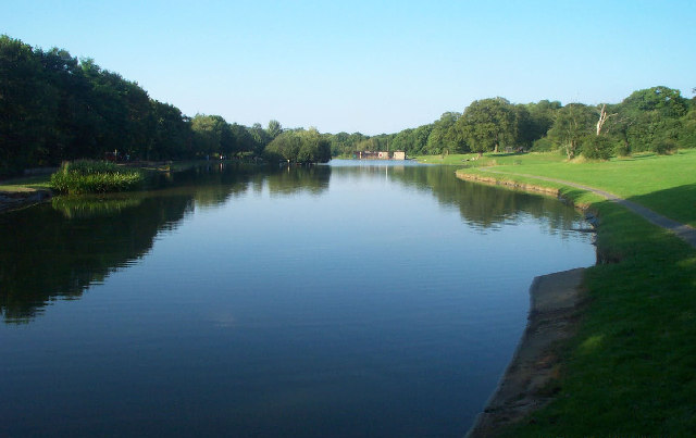
| 14:25, 30 January 2010 | 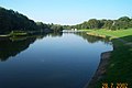 | 640 × 425 (52 KB) | GeographBot | == {{int:filedesc}} == {{Information |description={{en|1=Corby Boating Lake. Viewed looking north-eastwards from the southern end, in 2002 this was certainly a popular lake for anglers and model boat enthusiasts, but despite its name I don't think that th |
The following pages on the English Wikipedia use this file (pages on other projects are not listed):
The following other wikis use this file:
- Usage on azb.wikipedia.org
- Usage on fa.wikipedia.org
- Usage on uz.wikipedia.org
This file contains additional information, probably added from the digital camera or scanner used to create or digitize it.
If the file has been modified from its original state, some details may not fully reflect the modified file.
