Loading
  • 21 Aug, 2019

  • By, Wikipedia

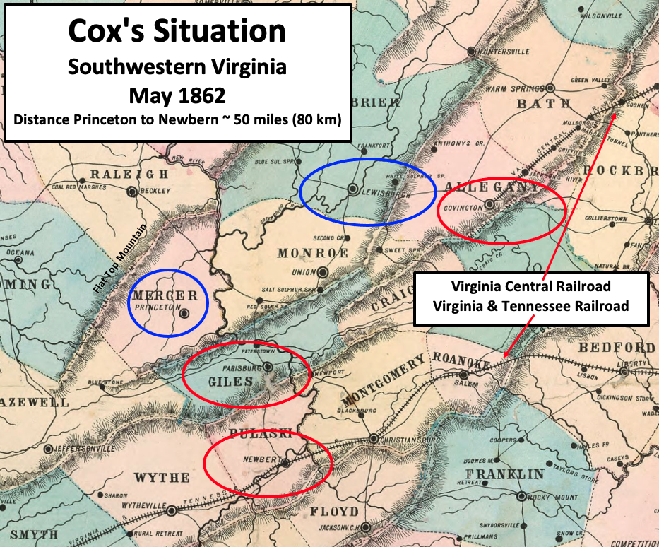
File:Cox Situation May 1862.png

Southwestern Virginia (portions later became West Virginia)

Licensing

Public domain

This work is in the public domain in its country of origin and other countries and areas where the copyright term is the author's life plus 70 years or fewer.


This work is in the public domain in the United States because it was published (or registered with the U.S. Copyright Office) before January 1, 1929.

Captions

Cox hoped to sever the Confederate Virginia & Tennessee Railroad

Items portrayed in this file

depicts

image/png

2ccf577b25e8cd6b1246e4e8e83749b593edaaa8

1,417,450 byte

774 pixel

933 pixel

File history

Click on a date/time to view the file as it appeared at that time.

Date/TimeThumbnailDimensionsUserComment
current16:01, 13 May 2022Thumbnail for version as of 16:01, 13 May 2022933 × 774 (1.35 MB)TwoScarsUpUploaded a work by O.N. Snow with modifications by TwoScarsUp from This is a crop of an 1861 map created by O.N. Snow & Co. The entire map can be found in the Library of Congress [https://www.loc.gov/item/lva0000091/ here], and shows Virginia, Delaware, Maryland & West Virginia. Text box, circles, and arrows were added by TwoScarsUp based on descriptions in the books "The Battle of Lewisburg" by Richard L. Armstrong, "Military Reminiscences of the Civil War" by Jacob Dolson Cox, and "A Histo...
The following pages on the English Wikipedia use this file (pages on other projects are not listed):