Loading
  • 21 Aug, 2019

  • By, Wikipedia

File:Craighead County Arkansas 2010 Township Map Large.jpg

Original upload log

The original description page was here. All following user names refer to en.wikipedia.
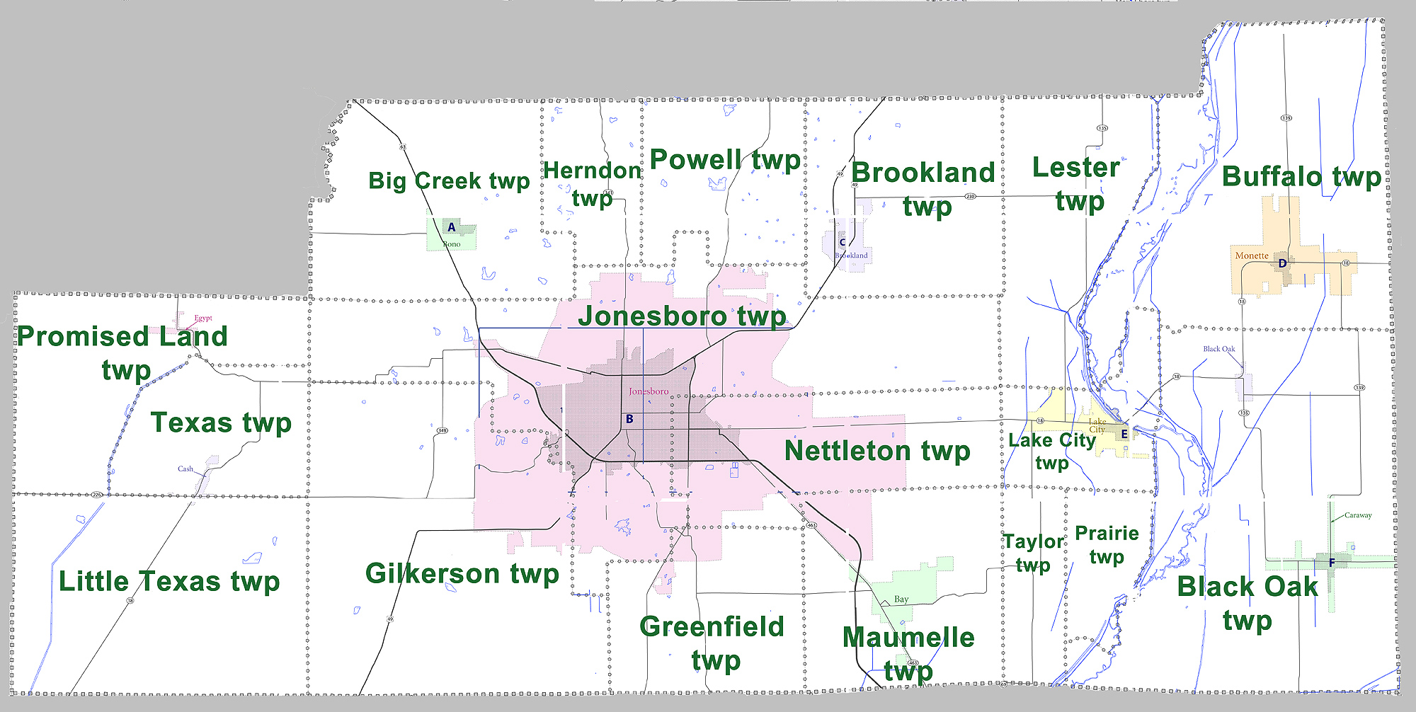
  • 2011-08-05 17:27 Yx7791 2000×1006× (673669 bytes) Large map showing townships in Craighead County, Arkansas. Modified from [http://www2.census.gov/geo/maps/dc10map/GUBlock/st05_ar/county/c05031_craighead/DC10BLK_C05031_000.pdf US census map (for 2010 census) for Craighead County, Arkansas]

Captions

Add a one-line explanation of what this file represents

Items portrayed in this file

depicts

5 August 2011

image/jpeg

cc0648044f73531f4cd006a1030c105156a11b49

673,669 byte

1,006 pixel

2,000 pixel

File history

Click on a date/time to view the file as it appeared at that time.

Date/TimeThumbnailDimensionsUserComment
current17:39, 30 August 2012Thumbnail for version as of 17:39, 30 August 20122,000 × 1,006 (658 KB)MGA73bot2 {{BotMoveToCommons|en.wikipedia|year={{subst:CURRENTYEAR}}|month={{subst:CURRENTMONTHNAME}}|day={{subst:CURRENTDAY}}}} {{Information |Description={{en|Large map showing townships in Craighead County, Arkansas. Modified from [http://www2.census.gov/ge...
The following pages on the English Wikipedia use this file (pages on other projects are not listed):

Global file usage