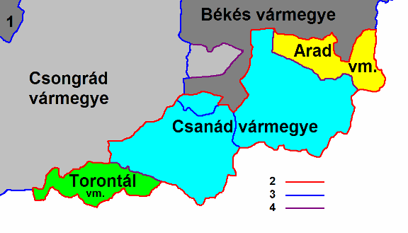
File:Csanád, Arad és Torontál.PNG
In case this is not legally possible:
Peyerk grants anyone the right to use this work for any purpose, without any conditions, unless such conditions are required by law.
Peyerk grants anyone the right to use this work for any purpose, without any conditions, unless such conditions are required by law.

|
This historical map image could be re-created using vector graphics as an SVG file. This has several advantages; see Commons:Media for cleanup for more information. If an SVG form of this image is available, please upload it and afterwards replace this template with
{{vector version available|new image name}}.
It is recommended to name the SVG file “Csanád, Arad és Torontál.svg”—then the template Vector version available (or Vva) does not need the new image name parameter. |