File:Deventer, Die Waage.jpg
Information from structured data:
Date
Source
Own work
Author
Dguendel
- location of creation: Deventer→Overijssel→Netherlands
- depicts instance of: Waag, Deventer→weigh house
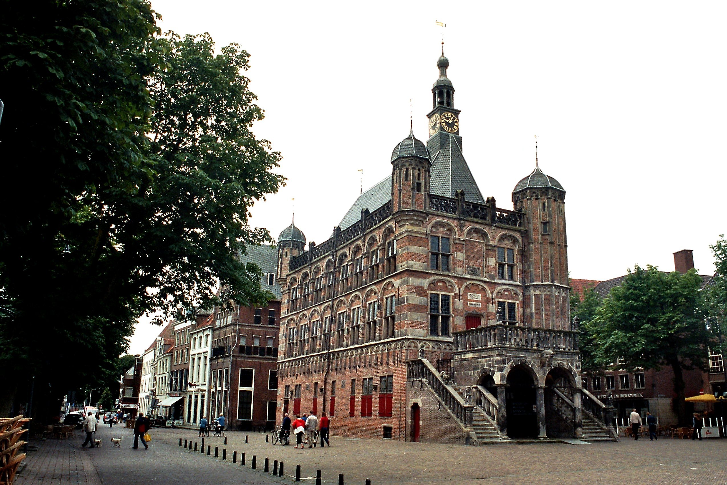
Deutsch: Deventer, die Waage
| Camera location | | View this and other nearby images on: OpenStreetMap |
|---|
Licensing
I, the copyright holder of this work, hereby publish it under the following license:
This file is licensed under the Creative Commons Attribution 4.0 International license.
- You are free:
- to share – to copy, distribute and transmit the work
- to remix – to adapt the work
- Under the following conditions:
- attribution – You must give appropriate credit, provide a link to the license, and indicate if changes were made. You may do so in any reasonable manner, but not in any way that suggests the licensor endorses you or your use.