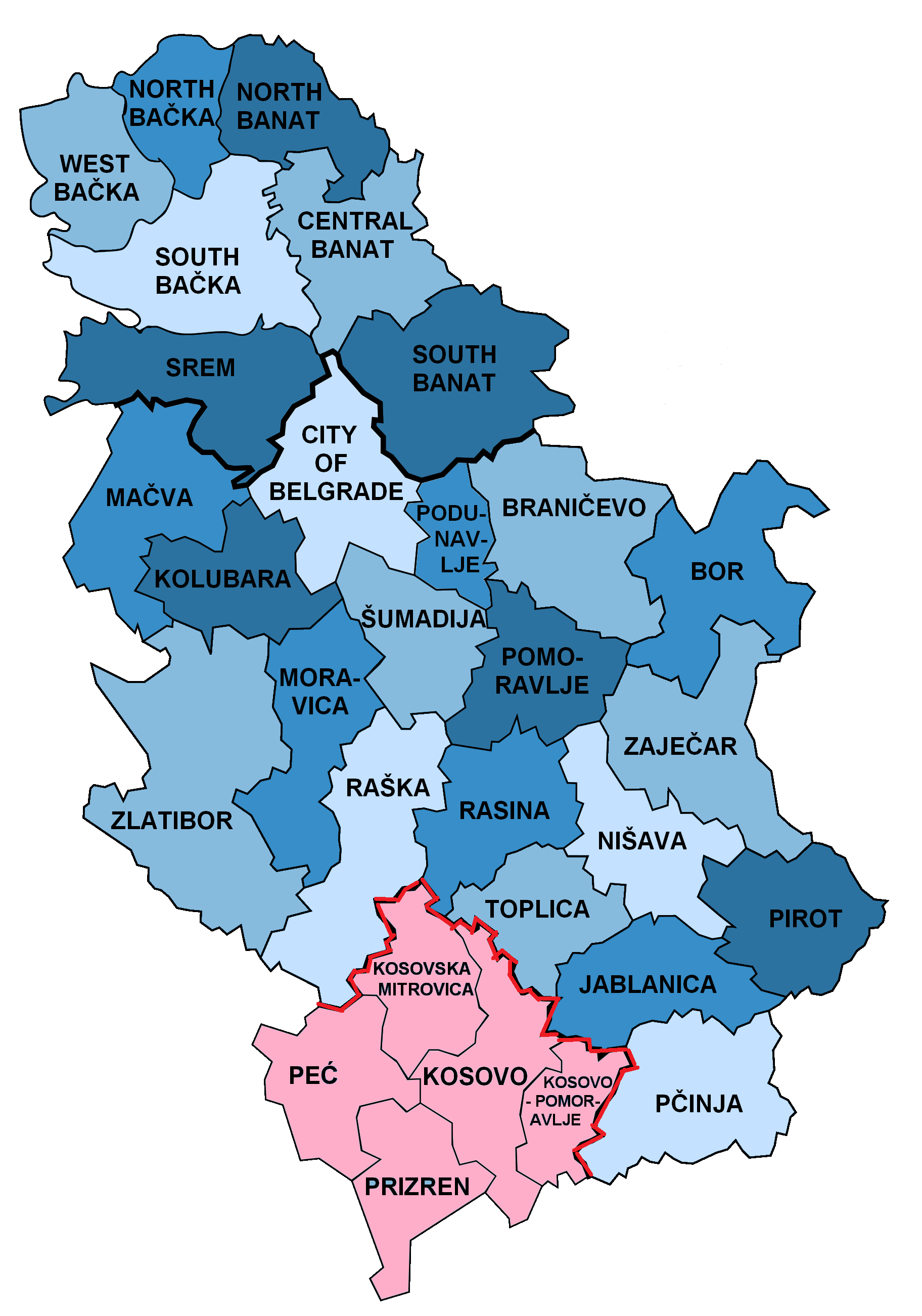
File:Disricts Of Serbia.png
Derivative works of this file:
- Bor district.png
- Borski okrug.PNG
- Branicevo district.png
- Central Banat district.png
- Grad Beograd (city of Belgrade).png
- Jablanica district.png
- Kolubara district.png
- Kosovo district.png
- Kosovska Mitrovica district.png
- Kosovsko Pomoravlje district.png
- Macva district.png
- Moravica district.png
- Nisava district.png
- North Backa district.png
- North Banat district.png
- Pcinja district.png
- Pec distrikt.png
- Pirot district.png
- Podunavlje district.png
- Pomoravlje district.png
- Prizren district.png
- Rasina district.png
- Raska district.png
- South Backa district.png
- South Banat district.png
- Srem district.png
- Sumadija district.png
- Toplica district.png
- West Backa district.png
- Zajecar district.png
- Zlatibor district.png
-
 Version with disputed Kosovo
 -
 Version without Kosovo
 -
 Serbian language version
 -
 German-language compatible version
.png)
.png)


Licensing
| I, the copyright holder of this work, release this work into the public domain. This applies worldwide. In some countries this may not be legally possible; if so: I grant anyone the right to use this work for any purpose, without any conditions, unless such conditions are required by law. |
Original upload log
This image is a derivative work of the following images:
- File:Disricts_of_Serbia_by_population_density.svg licensed with PD-self
- 2010-04-25T18:39:42Z Алексей Глушков 765x1060 (47381 Bytes) {{Information |Description={{en|1=Map of disricts of Serbia by population density}} {{sr|1=Карта округа Србија на густини становништва}} |Source=Own work |Author=Gajmar at [http://ru.wiki
Uploaded with derivativeFX


.png)