File:Dominican Republic Relief Location Map.jpg
Click on a date/time to view the file as it appeared at that time.
| Date/Time | Thumbnail | Dimensions | User | Comment | |
|---|---|---|---|---|---|
| current | 17:36, 8 February 2010 | 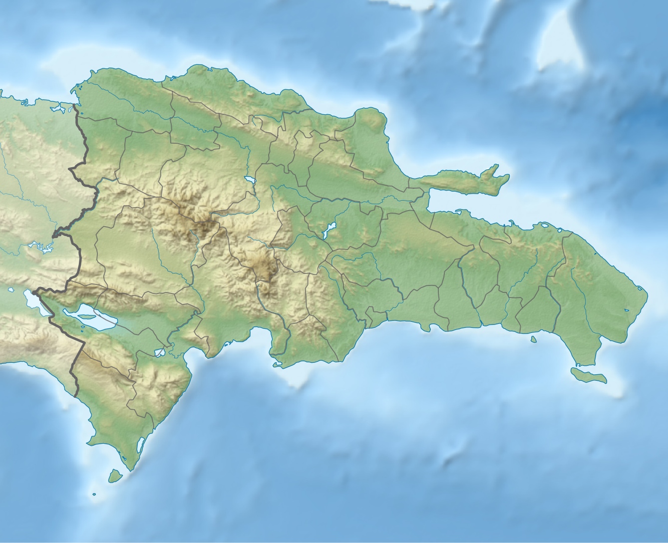 | 1,338 × 1,088 (403 KB) | Alexrk2 | == Summary == {{Information |Description= {{de|Physische Positionskarte Dominikanische Republik mit Provinzen, Quadratische Plattkarte, N-S-Streckung 105 %. Geographische Begrenzung der Karte:}} {{en|Physical Location map |
File usage
More than 100 pages use this file. The following list shows the first 100 pages that use this file only. A full list is available.
- Agua Santa del Yuna
- Arenoso
- Arroyo Barril Airport
- Azua, Dominican Republic
- Baitoa
- Bajos de Haina
- Baní
- Barahona, Dominican Republic
- Bayaguana
- Bisonó
- Boca Chica
- Boca de Yuma
- Bohechío
- Bonao
- Bánica
- Cabrera, María Trinidad Sánchez
- Cambita Garabitos
- Cana Chapetón
- Castañuelas
- Castillo, Dominican Republic
- Cayetano Germosén
- Cibao International Airport
- Comendador, Dominican Republic
- Constanza, Dominican Republic
- Constanza Airport
- Consuelo, Dominican Republic
- Cotuí
- Dajabón
- Dominican Republic
- Duvergé
- El Pino, Dominican Republic
- El Portillo Airport
- El Seibo, Dominican Republic
- Enriquillo, Barahona
- Esperanza, Dominican Republic
- Estebanía
- Geography of the Dominican Republic
- Gregorio Luperón International Airport
- Guananico
- Gurabo, Dominican Republic
- Hato Mayor del Rey
- Jarabacoa
- Jimaní
- La Isabela International Airport
- La Romana, Dominican Republic
- La Romana International Airport
- Laguna Salada
- Lake Enriquillo
- Las Américas International Airport
- Licey al Medio
- Loma de Cabrera
- Los Cacaos
- Monción
- Monte Cristi, Dominican Republic
- Monte Plata
- Nagua
- Neiba
- Nizao
- Nizao River
- Orlando Martínez Howley
- Osvaldo Virgil Airport
- Paraíso, Barahona
- Pedro Brand
- Pedro Santana, Dominican Republic
- Peralta, Azua
- Pico Duarte
- Piedra Blanca
- Pimentel, Dominican Republic
- Polo, Dominican Republic
- Puerto Plata, Dominican Republic
- Quisqueya, Dominican Republic
- Ramón Santana
- Rivière Soliette
- Sabana Grande de Palenque
- Sabaneta, Dominican Republic
- Salcedo, Dominican Republic
- Samaná (town)
- Samaná El Catey International Airport
- San Antonio de Guerra
- San Cristóbal, Dominican Republic
- San Francisco de Macorís
- San Gregorio de Nigua
- San José de Ocoa
- San José de las Matas
- San José de los Llanos
- San Juan de la Maguana
- San Rafael del Yuma
- Santiago de los Caballeros
- Santo Domingo
- Santo Domingo Este
- Santo Domingo Norte
- Santo Domingo Oeste
- Tamboril, Dominican Republic
- Vicente Noble
- Villa Altagracia
- Villa Elisa, Dominican Republic
- Villa Hermosa
- Villa Los Almácigos
- Villa Riva
- Yaguate
View more links to this file.
Global file usage
The following other wikis use this file:
- Usage on af.wikipedia.org
- Usage on ar.wikipedia.org
- Usage on ast.wikipedia.org
- Usage on az.wikipedia.org
- Usage on ba.wikipedia.org
- Usage on be.wikipedia.org
- Usage on bg.wikipedia.org
- Usage on bn.wikipedia.org
- Usage on bs.wikipedia.org
- Usage on ca.wikipedia.org
- Usage on ceb.wikipedia.org
- Usage on ce.wikipedia.org
- Usage on ckb.wikipedia.org
- Usage on cs.wikipedia.org
- Usage on da.wikipedia.org
- Usage on de.wikipedia.org
View more global usage of this file.