File:Donegall Street, Belfast - Geograph.org.uk - 590376.jpg
Click on a date/time to view the file as it appeared at that time.
| Date/Time | Thumbnail | Dimensions | User | Comment | |
|---|---|---|---|---|---|
| current | 18:02, 6 February 2011 | 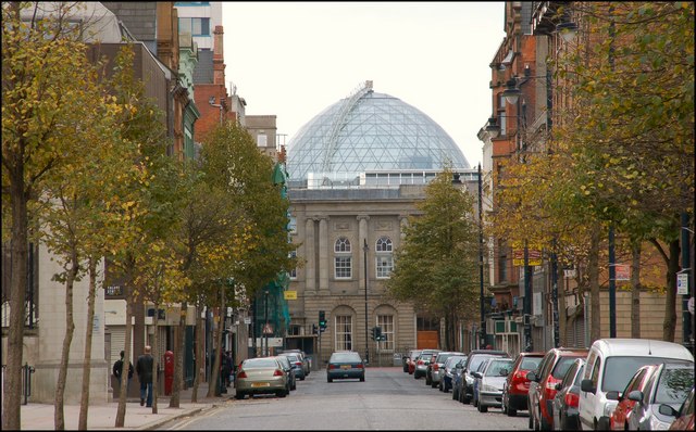 | 640 × 398 (94 KB) | GeographBot | == {{int:filedesc}} == {{Information |description={{en|1=Donegall Street, Belfast Donegall Street (lower) runs from Royal Avenue/York Street to Waring Street/Bridge Street 412508. The Victoria Square dome 563946 now forms an impressive background |
File usage
The following page uses this file:
Global file usage
The following other wikis use this file:
- Usage on ga.wikipedia.org
- Usage on ru.wikipedia.org
- Usage on www.wikidata.org