
File history
Click on a date/time to view the file as it appeared at that time.
| Date/Time | Thumbnail | Dimensions | User | Comment | |
|---|---|---|---|---|---|
| current | 04:49, 5 March 2011 | 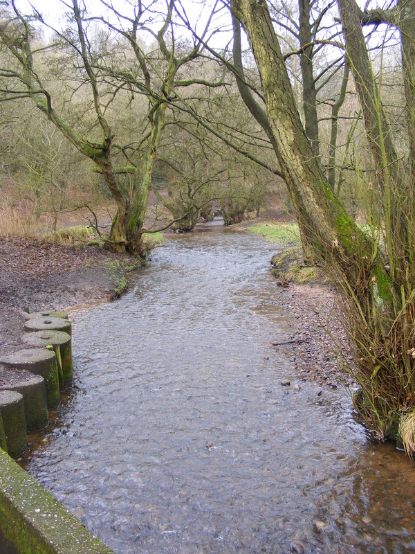 | 600 × 800 (199 KB) | GeographBot | == {{int:filedesc}} == {{Information |description={{en|1=Downs Banks Brook The Brook near the south entrance to the National Trust Site off Wash Dale Lane, Oulton.}} |date=2010-02-05 |source=From [http://www.geograph.org.uk/photo/1701073 geograph.org.uk] |
File usage
The following pages on the English Wikipedia use this file (pages on other projects are not listed):