Click on a date/time to view the file as it appeared at that time.
| Date/Time | Thumbnail | Dimensions | User | Comment |
|---|
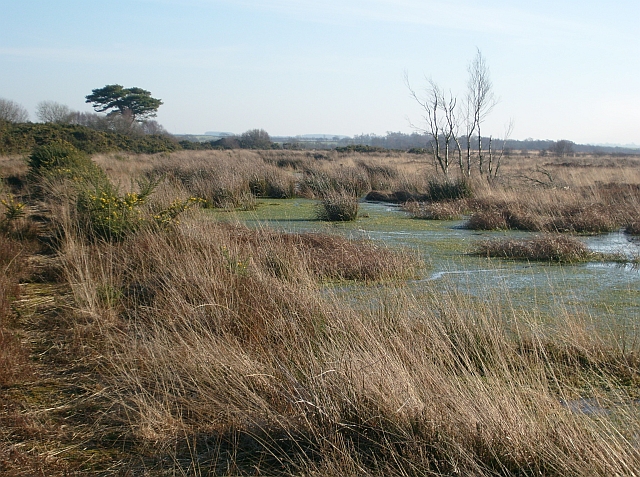
| current | 01:23, 8 February 2011 |  | 640 × 477 (331 KB) | GeographBot | == {{int:filedesc}} == {{Information |description={{en|1=Drumburgh Moss National Nature Reserve One of the last remaining raised mires, or peat bogs, on the Solway Plain. The site is owned and managed by Cumbria Wildlife Trust. http://www.wildlifetrust.or |
The following pages on the English Wikipedia use this file (pages on other projects are not listed):
The following other wikis use this file:
- Usage on ja.wikipedia.org
This file contains additional information, probably added from the digital camera or scanner used to create or digitize it.
If the file has been modified from its original state, some details may not fully reflect the modified file.