File:Ecclesiastical Province Of San Francisco Map.png
Click on a date/time to view the file as it appeared at that time.
| Date/Time | Thumbnail | Dimensions | User | Comment | |
|---|---|---|---|---|---|
| current | 15:31, 30 May 2023 | 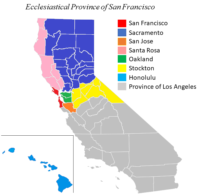 | 676 × 669 (68 KB) | Farragutful | province was reduced in size |
| 02:05, 25 May 2014 |  | 960 × 720 (186 KB) | Farragutful | matched colors | |
| 13:58, 1 March 2014 |  | 960 × 720 (184 KB) | Farragutful | Fixed Santa Rosa/Sacramento | |
| 00:16, 4 September 2012 |  | 960 × 720 (202 KB) | Farragutful | filled in county borders in Nevada and Utah | |
| 22:53, 28 August 2012 |  | 960 × 720 (184 KB) | Farragutful | User created page with UploadWizard |
File usage
The following pages on the English Wikipedia use this file (pages on other projects are not listed):
Global file usage
The following other wikis use this file:
- Usage on cs.wikipedia.org
- Usage on de.wikipedia.org
- Usage on es.wikipedia.org
- Usage on fr.wikipedia.org
- Usage on id.wikipedia.org
- Usage on it.wikipedia.org
- Usage on jv.wikipedia.org
- Usage on nl.wikipedia.org