File:Fraser Island Southwest Topo Map 1942.jpg
- Out of copyright according to Copyright Information (PDF) attached to map download from https://nla.gov.au/nla.obj-234104685/view
Click on a date/time to view the file as it appeared at that time.
| Date/Time | Thumbnail | Dimensions | User | Comment | |
|---|---|---|---|---|---|
| current | 10:28, 18 April 2018 | 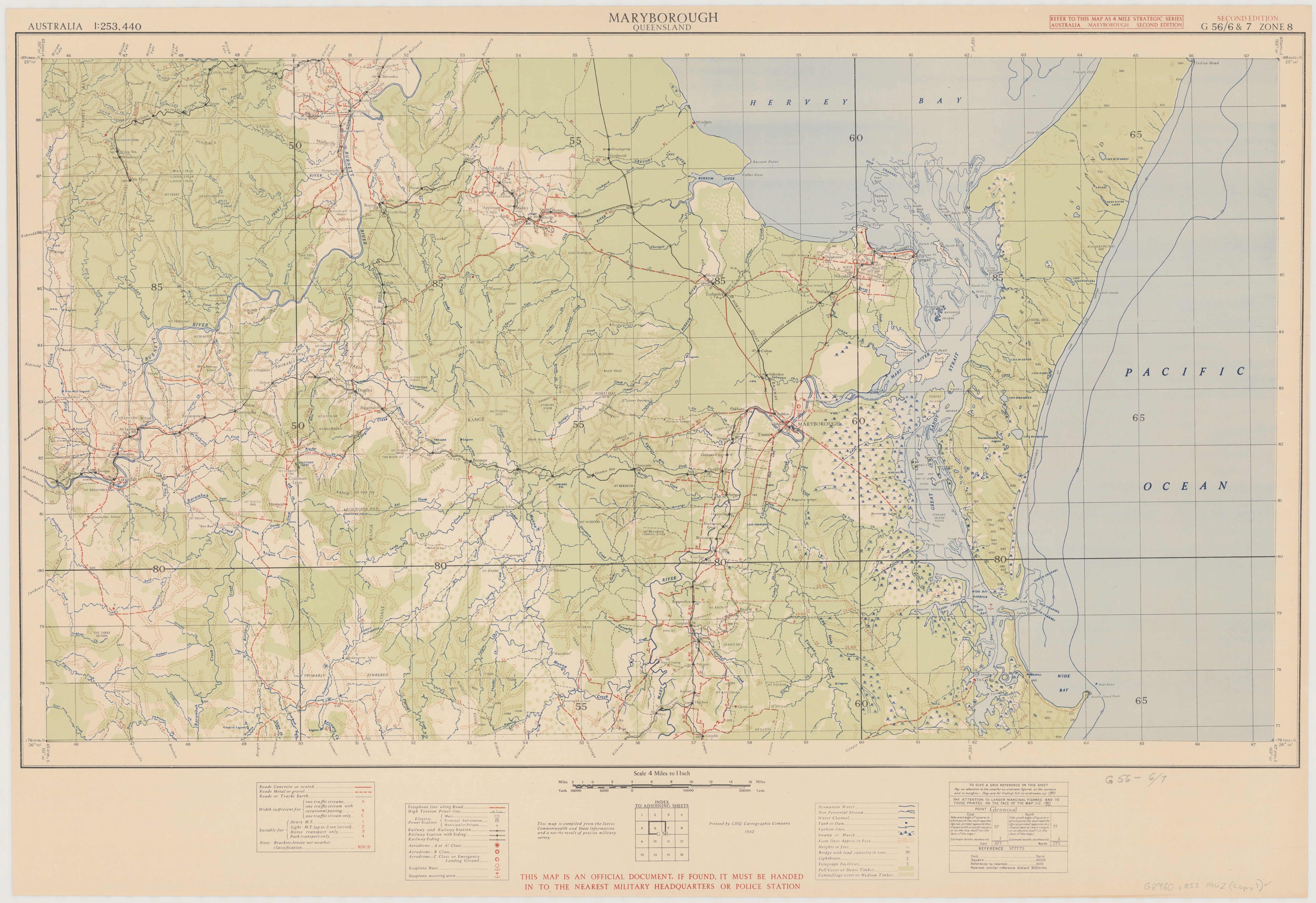 | 5,000 × 3,432 (10.89 MB) | Ratzer | User created page with UploadWizard |
The following 4 pages use this file:
The following other wikis use this file: