File:GA National Forest.png
Bahasa Indonesia ∙ català ∙ čeština ∙ Deutsch ∙ eesti ∙ English ∙ español ∙ français ∙ galego ∙ italiano ∙ Nederlands ∙ português ∙ polski ∙ sicilianu ∙ suomi ∙ Tiếng Việt ∙ Türkçe ∙ български ∙ македонски ∙ русский ∙ മലയാളം ∙ 한국어 ∙ 日本語 ∙ 中文 ∙ 中文(简体) ∙ 中文(繁體) ∙ العربية ∙ فارسی ∙ +/−
Original upload log
The original description page was
here . All following user names refer to en.wikipedia.
Upload date | User | Bytes | Dimensions | Comment
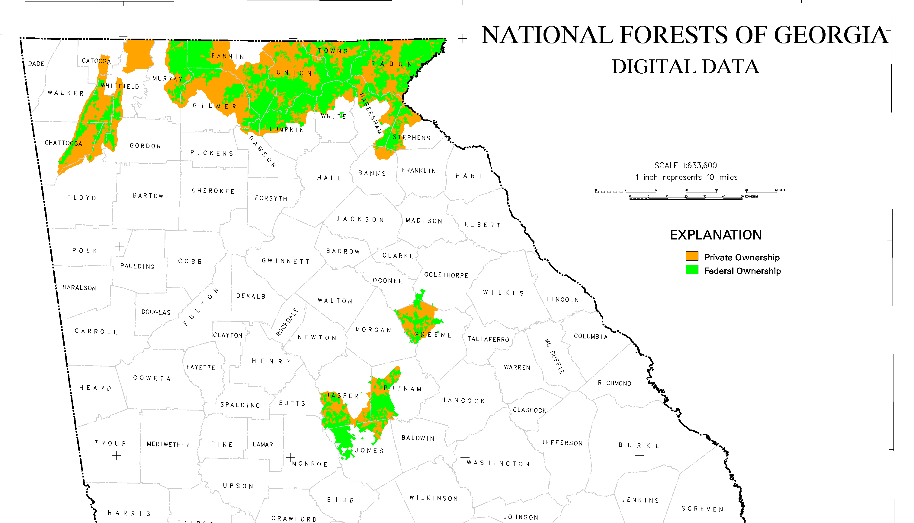
2006-10-27 01:24 (UTC) | Tlmclain | 208415 (bytes) | 3027×1734 | Map of National Forest land in [[Georgia]]. Source: [http://csat.er.usgs.gov/statewide/layers/forest.html USGS] {{PD-USGov-Interior-USGS}}
Click on a date/time to view the file as it appeared at that time.
Date/Time Thumbnail Dimensions User Comment current 02:44, 1 January 2012 3,027 × 1,734 (204 KB) Ronhjones (Original text) : Map of National Forest land in Georgia . Source: [http://csat.er.usgs.gov/statewide/layers/forest.html USGS] {{PD-USGov-Interior-USGS}}
The following pages on the English Wikipedia use this file (pages on other projects are not listed):
This file contains additional information, probably added from the digital camera or scanner used to create or digitize it.
If the file has been modified from its original state, some details may not fully reflect the modified file.