File:GisborneRegionPopulationDensity.png
Click on a date/time to view the file as it appeared at that time.
| Date/Time | Thumbnail | Dimensions | User | Comment | |
|---|---|---|---|---|---|
| current | 04:42, 8 May 2008 | 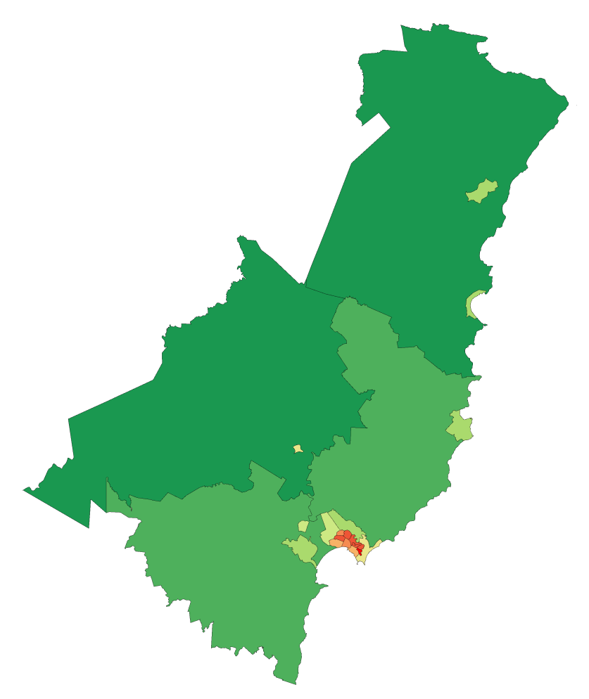 | 837 × 994 (55 KB) | Vardion | {{Information |Description=Map showing population density of a region of New Zealand (by Statistics NZ Area Unit) as of the 2006 census |Source=self-made, using data from Statistics NZ and an existing colourscheme for such maps |Date=8 May 2008 |Author= [ |
File usage
The following pages on the English Wikipedia use this file (pages on other projects are not listed):
Global file usage
The following other wikis use this file:
- Usage on ca.wikipedia.org
- Usage on fr.wikipedia.org
- Usage on he.wikipedia.org
- Usage on nn.wikipedia.org
- Usage on uk.wikipedia.org