File:Gogebic County, MI Census Map.png
Original upload log
The original description page was here. All following user names refer to en.wikipedia.
| Date/Time | Dimensions | User | Comment |
|---|---|---|---|
| 2019-07-17 01:31 | 2000×2000× (243235 bytes) | Notorious4life | removed MI map |
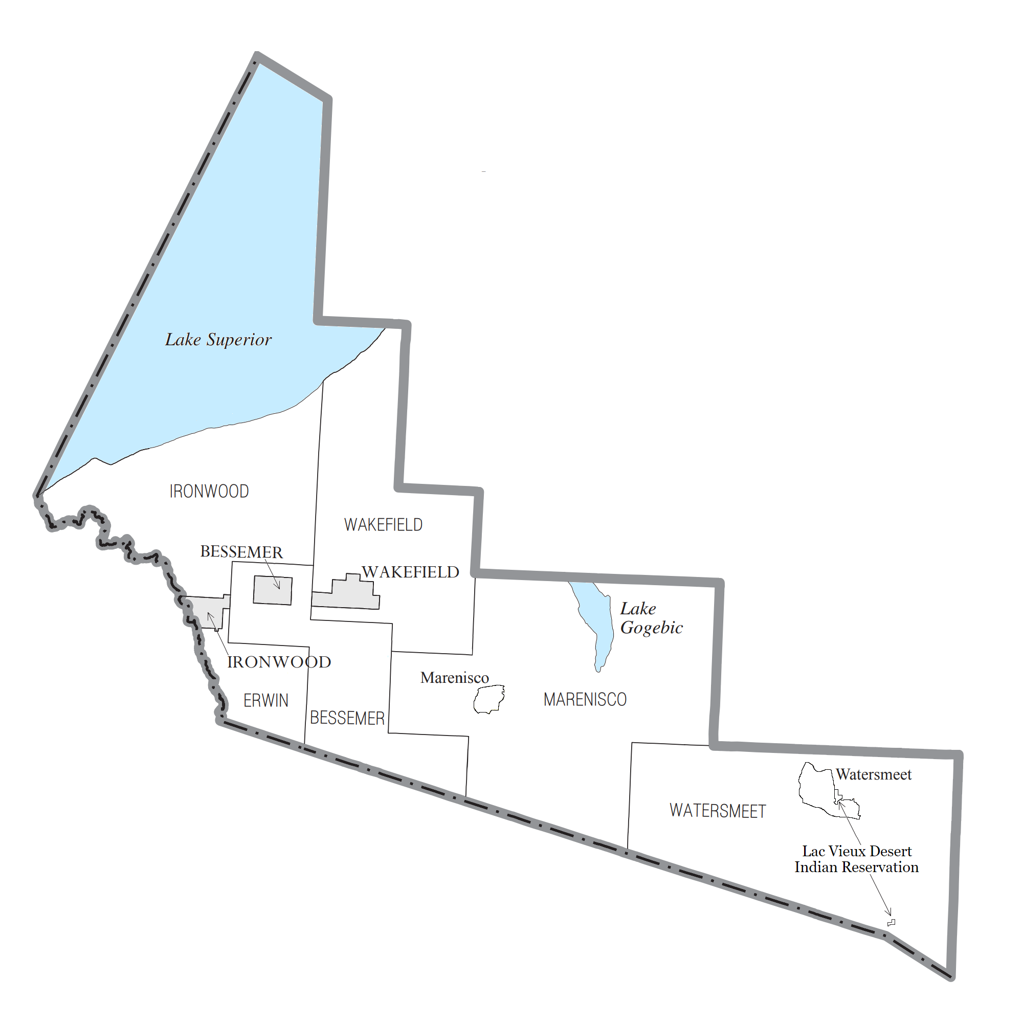
| 2019-07-11 14:17 | 2100×2000× (287695 bytes) | Notorious4life | == Summary == {{Information | description = Gogebic County census data map | source = {{own}} | date = ~~~~~ | author = [[User:Notorious4life|Notorious4life]] ([[User talk:Notorious4life|talk]]) ([[Special:ListFiles/Notorious4life|Uploads]]) | permission = | other_versions = | additional_information = }} == Licensing == {{self|cc-zero}} |


