Click on a date/time to view the file as it appeared at that time.
| Date/Time | Thumbnail | Dimensions | User | Comment |
|---|
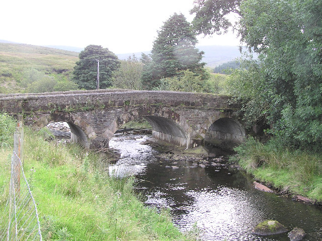
| current | 15:24, 30 January 2010 |  | 640 × 479 (159 KB) | GeographBot | == {{int:filedesc}} == {{Information |description={{en|1=Goles bridge in the Glenelly Valley. A typical stone bridge in an isolated location}} |date=2005-09-13 |source=From [http://www.geograph.org.uk/photo/52798 geograph.org.uk] |author=[http://www.geogr |
The following pages on the English Wikipedia use this file (pages on other projects are not listed):
The following other wikis use this file:
- Usage on ga.wikipedia.org
- Usage on www.wikidata.org
This file contains additional information, probably added from the digital camera or scanner used to create or digitize it.
If the file has been modified from its original state, some details may not fully reflect the modified file.