File:Harshaw Area USGS Topographical Map.JPG
Harshaw, Arizona
This image is in the public domain in the United States because it only contains materials that originally came from the United States Geological Survey, an agency of the United States Department of the Interior. For more information, see the official USGS copyright policy.
|
Click on a date/time to view the file as it appeared at that time.
| Date/Time | Thumbnail | Dimensions | User | Comment | |
|---|---|---|---|---|---|
| current | 01:57, 17 July 2010 | 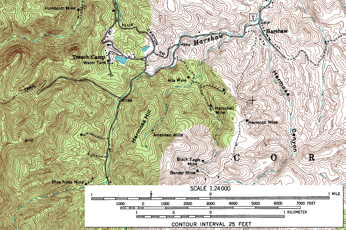 | 1,200 × 800 (1.62 MB) | Transity | Add scale. |
| 19:46, 16 July 2010 |  | 1,200 × 800 (505 KB) | Transity | {{Information |Description={{en|1=Topographic Map, Harshaw Quadrangle, Arizona, Santa Cruz County. 7.5 minute series. USGS 1958.}} |Source=USGS |Author=USGS |Date=1958 |Permission={{PD-USGov-USGS}} |other_versions= }} |