Click on a date/time to view the file as it appeared at that time.
| Date/Time | Thumbnail | Dimensions | User | Comment |
|---|
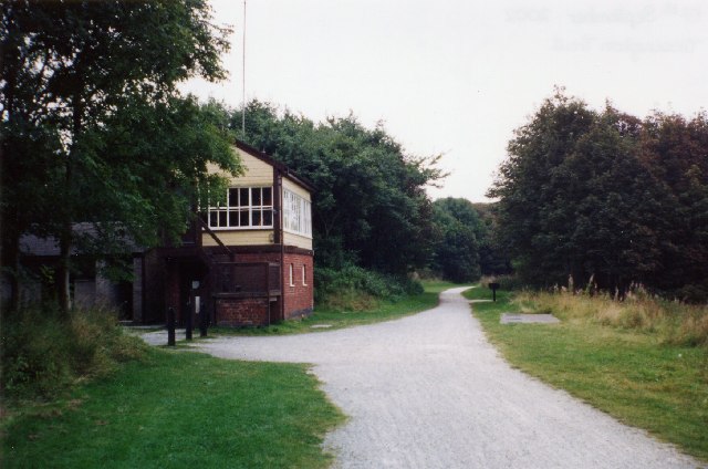
| current | 03:11, 30 January 2010 |  | 640 × 424 (62 KB) | GeographBot | == {{int:filedesc}} == {{Information |description={{en|1=Hartington Signal Box and the Tissington Trail. Looking south. The route of the former Buxton to Ashbourne railway. Regular services ceased in 1954 and the line was closed in the 1960's. The Tissing |
The following pages on the English Wikipedia use this file (pages on other projects are not listed):
The following other wikis use this file:
- Usage on www.wikidata.org
This file contains additional information, probably added from the digital camera or scanner used to create or digitize it.
If the file has been modified from its original state, some details may not fully reflect the modified file.