File:Hornfels Map.png
This is an image of a place or building that is listed on the National Register of Historic Places in the United States of America. Its reference number is 80000653.
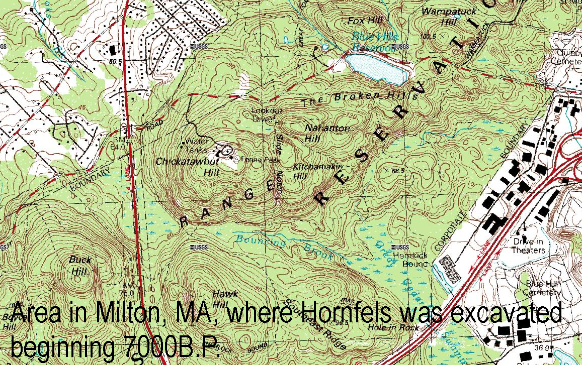
Summary
| Description |
English: Map showing the area south of Chickatawbut Road, Milton, Massachusetts, where Hornfels was excavated from 7000 B.P. until around 1600 A.D. |
| Date | |
| Source | USGS Topo |
| Author | Title by User:Jsmeslwoodward |
Licensing
This image is in the public domain in the United States because it only contains materials that originally came from the United States Geological Survey, an agency of the United States Department of the Interior. For more information, see the official USGS copyright policy.
|