
File history
Click on a date/time to view the file as it appeared at that time.
| Date/Time | Thumbnail | Dimensions | User | Comment | |
|---|---|---|---|---|---|
| current | 23:13, 5 March 2011 | 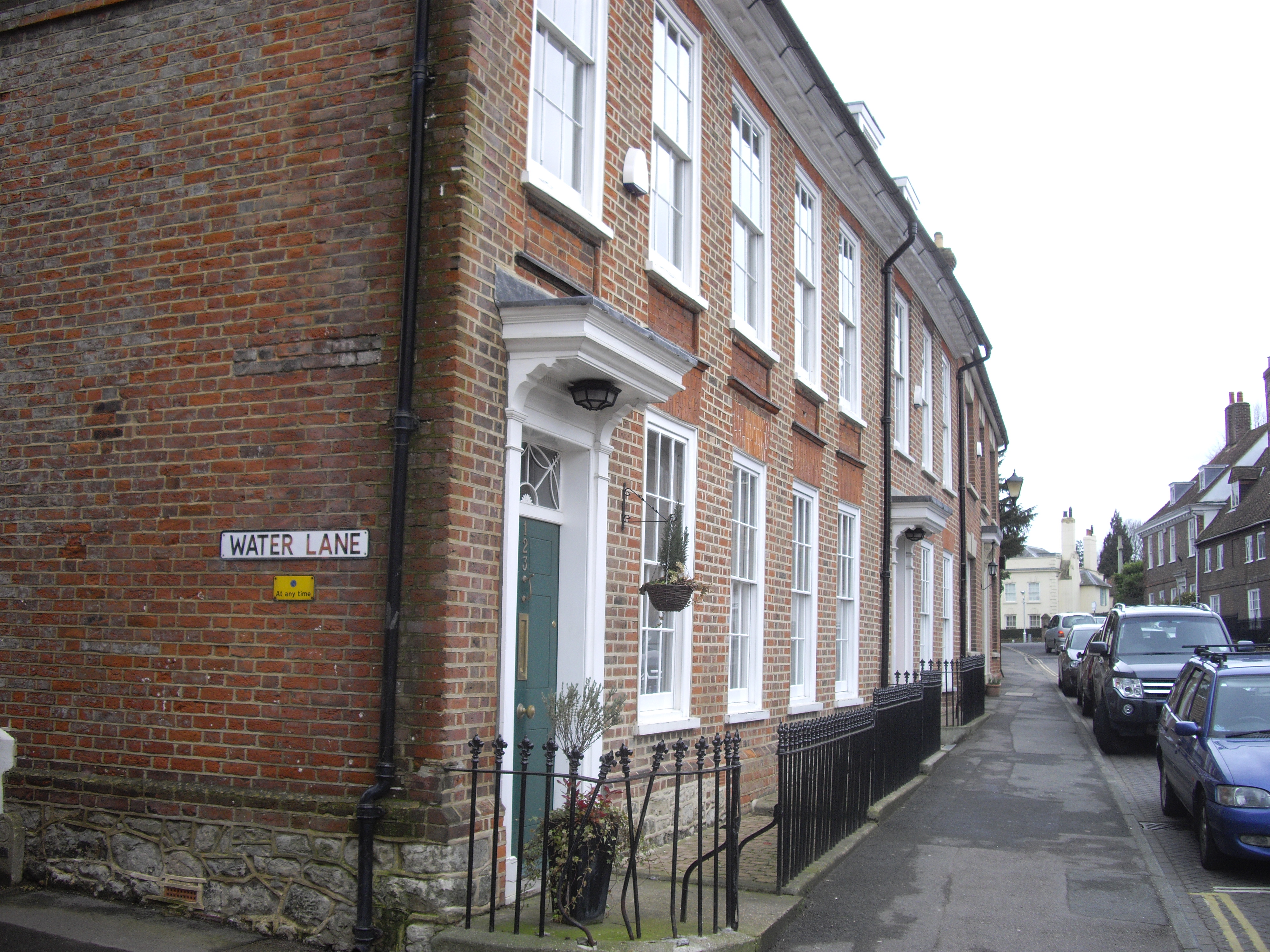 | 4,000 × 3,000 (3.44 MB) | GeographBot | == {{int:filedesc}} == {{Information |description={{en|1=Houses on St Leonard's Street West Malling}} |date=2010-03-13 |source=From [http://www.geograph.org.uk/photo/1751916 geograph.org.uk] |author=[http://www.geograph.org.uk/profile/32427 PAUL FARMER] | |
File usage
The following pages on the English Wikipedia use this file (pages on other projects are not listed):