File:IBRA 6.1 Einasleigh Uplands.png
Click on a date/time to view the file as it appeared at that time.
| Date/Time | Thumbnail | Dimensions | User | Comment | |
|---|---|---|---|---|---|
| current | 04:46, 3 March 2007 | 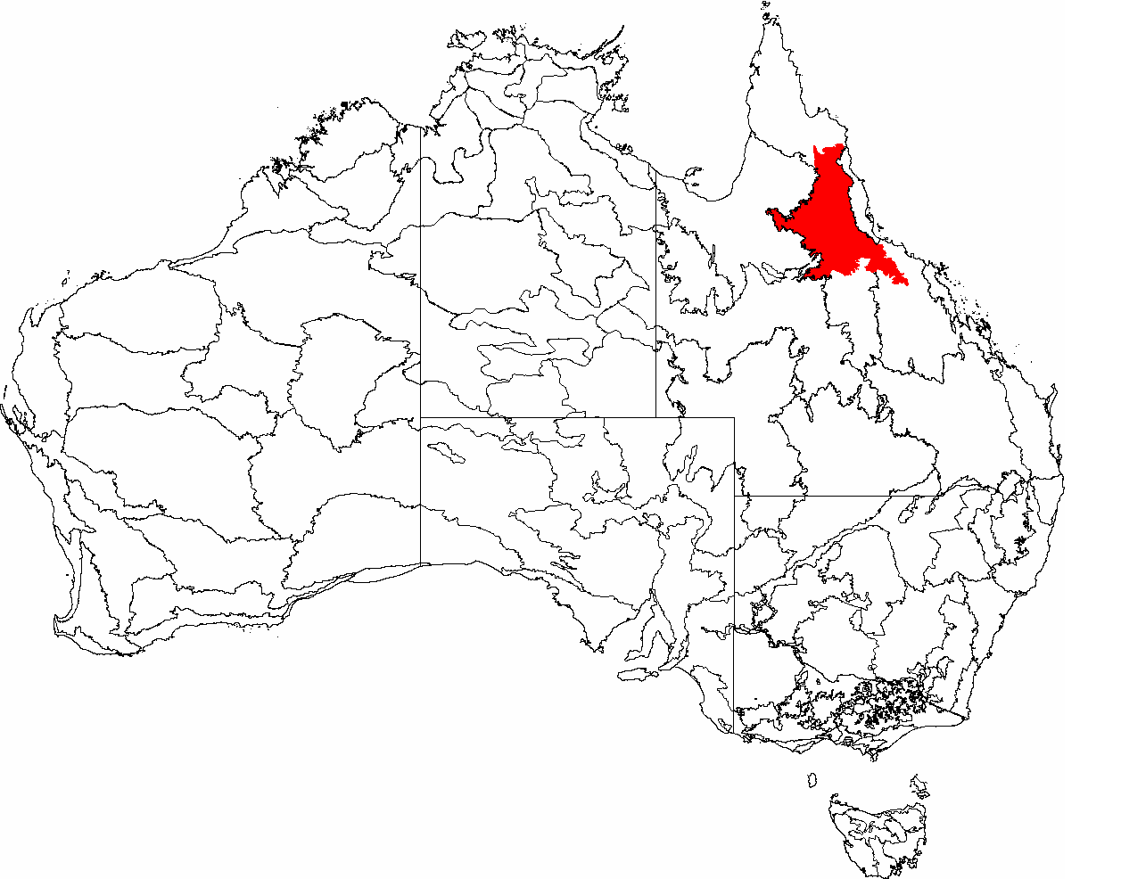 | 1,257 × 986 (83 KB) | Hesperian | {{Information |Description=This is a map of the Interim Biogeographic Regionalisation of Australia (IBRA), with state boundaries overlaid. The '''Einasleigh Uplands''' region is shown in red. |Source=It was created by the uploader. |Date=2007-02-6 |Author |
| 22:58, 25 February 2007 |  | 1,149 × 948 (77 KB) | Hesperian | {{Information |Description=This is a map of the Interim Biogeographic Regionalisation of Australia (IBRA), with state boundaries overlaid. The '''Einasleigh Uplands''' region is shown in red. |Source=It was created by the uploader. |Date=2007-02-6 |Author |
File usage
The following 2 pages use this file:
Global file usage
The following other wikis use this file:
- Usage on eo.wikipedia.org
- Usage on es.wikipedia.org
- Usage on pl.wikipedia.org
- Usage on www.wikidata.org