Click on a date/time to view the file as it appeared at that time.
| Date/Time | Thumbnail | Dimensions | User | Comment |
|---|
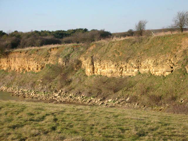
| current | 03:27, 31 January 2010 |  | 640 × 480 (74 KB) | GeographBot | == {{int:filedesc}} == {{Information |description={{en|1=Ironstone Quarry Face. Northamptonshire was extensively quarried for ironstone. This section of the old quarry face survives, but further north is used as the main rubbish tip (land-fill site if you |
The following pages on the English Wikipedia use this file (pages on other projects are not listed):
This file contains additional information, probably added from the digital camera or scanner used to create or digitize it.
If the file has been modified from its original state, some details may not fully reflect the modified file.