File:Island Of Ireland Relief Location Map.png
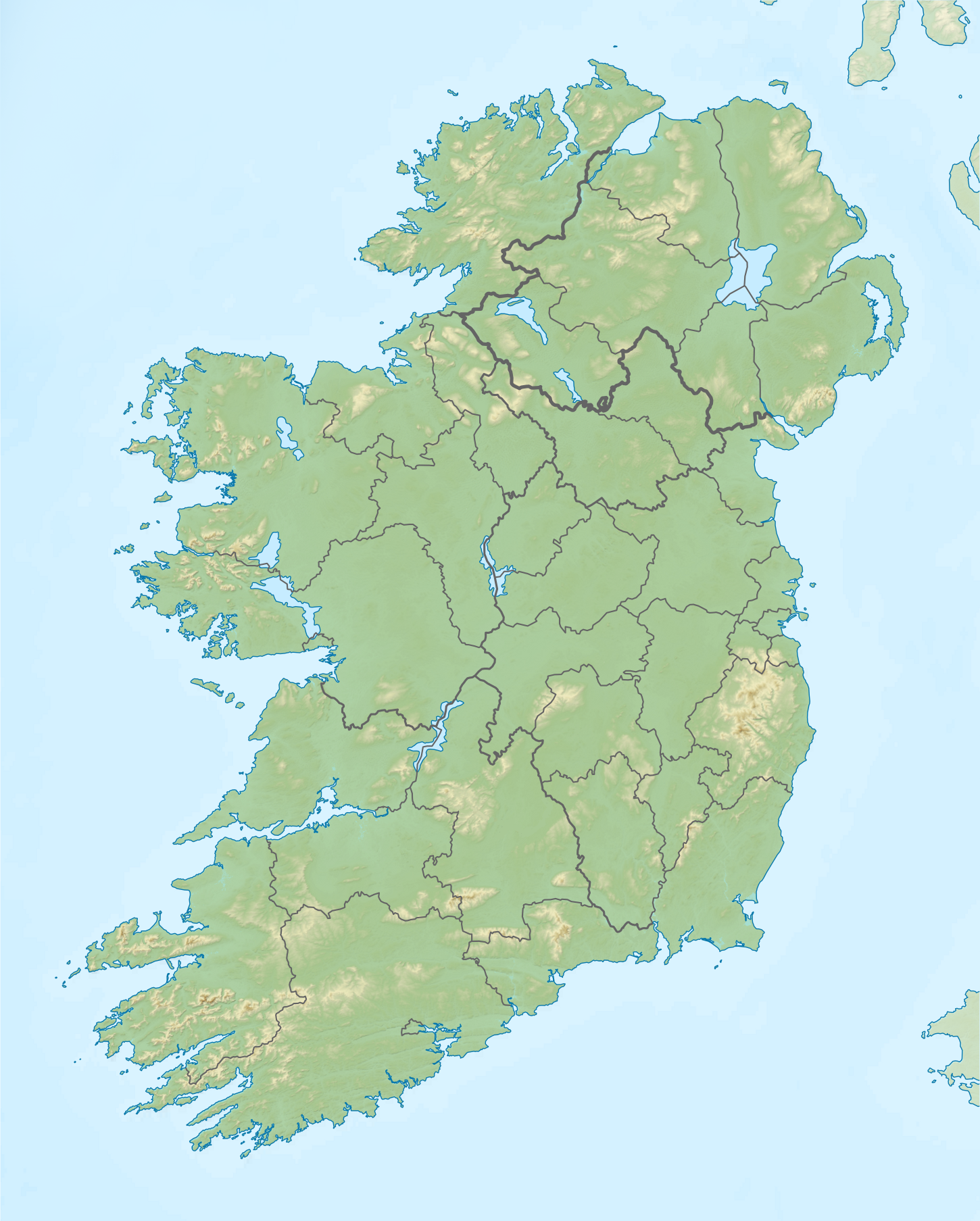
Relief map of Ireland
Date
Source
Author
Nilfanion
Permission
(Reusing this file)


Equirectangular map projection on WGS 84 datum, with N/S stretched 170%
Geographic limits:
- West: 11.0° W
- East: 5.0° W
- North: 55.6° N
- South: 51.2° N
Shuttle Radar Topography Mission
- Relief data
National Geospatial-Intelligence Agency
- Coastline data
File:Island of Ireland location map.svg: Rannpháirtí anaithnid
- Borders
(Reusing this file)
This file is licensed under the Creative Commons Attribution-Share Alike 3.0 Unported license.
- You are free:
- to share – to copy, distribute and transmit the work
- to remix – to adapt the work
- Under the following conditions:
- attribution – You must give appropriate credit, provide a link to the license, and indicate if changes were made. You may do so in any reasonable manner, but not in any way that suggests the licensor endorses you or your use.
- share alike – If you remix, transform, or build upon the material, you must distribute your contributions under the same or compatible license as the original.

