File:Isle Of Anglesey UK Relief Location Map.jpg
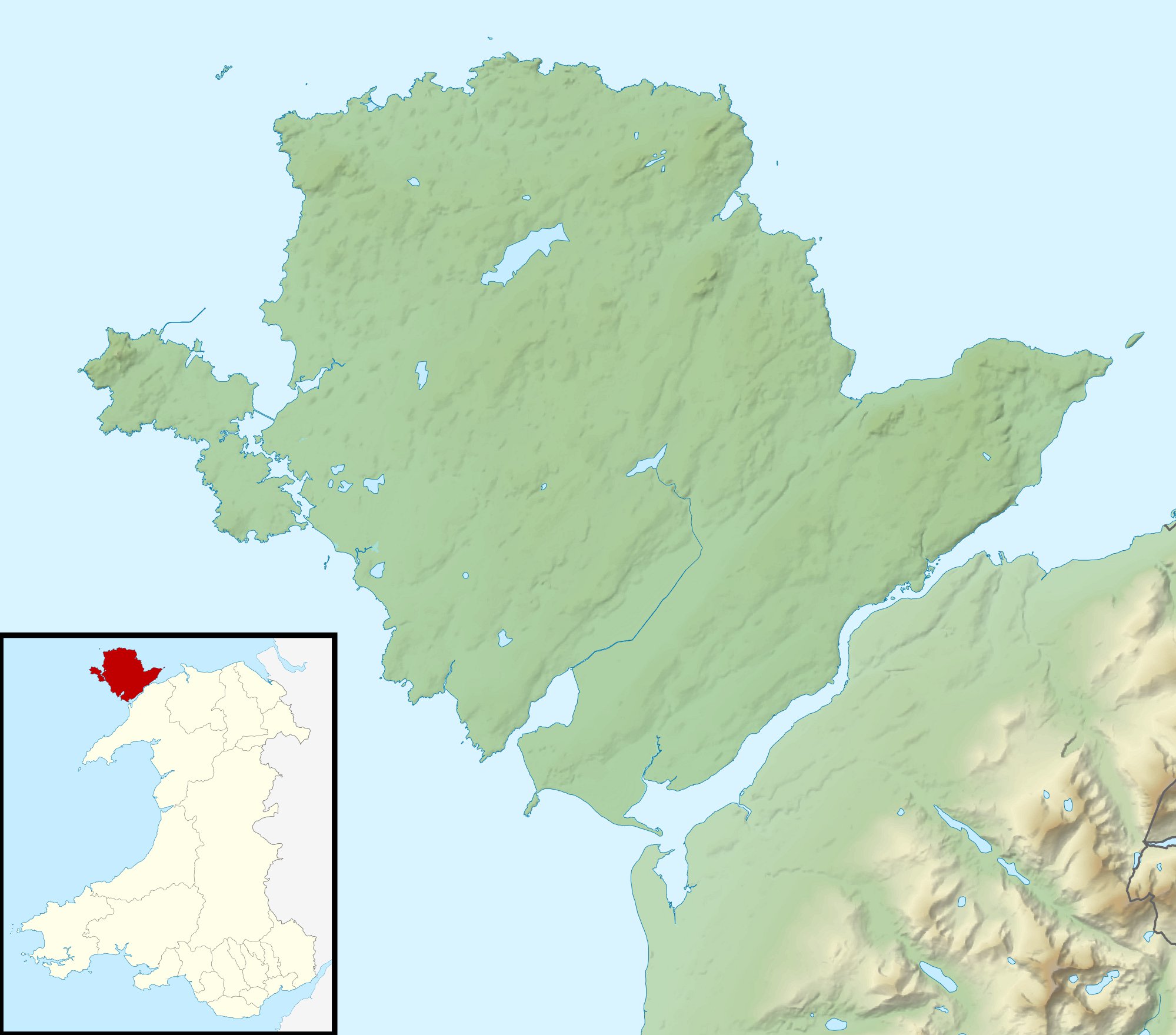
Relief map of Anglesey, UK.
Date
Source
Author
Nilfanion, created using Ordnance Survey data
Permission
(Reusing this file)


Other versions
File:Isle of Anglesey UK map.svg - Blank map
Equirectangular map projection on WGS 84 datum, with N/S stretched 165%
Geographic limits:
- West: 4.75W
- East: 4.00W
- North: 53.45N
- South: 53.05N
- Relief data from Land-Form Panorama product.
- Administrative borders and coastline data from Boundary-Line product.
- All other geographic data from Meridian 2 product.
- Inset derived from derived from File: United Kingdom location map.svg by NordNordWest.
(Reusing this file)
This file is licensed under the Creative Commons Attribution-Share Alike 3.0 Unported license.
Attribution: Contains Ordnance Survey data © Crown copyright and database right
- You are free:
- to share – to copy, distribute and transmit the work
- to remix – to adapt the work
- Under the following conditions:
- attribution – You must give appropriate credit, provide a link to the license, and indicate if changes were made. You may do so in any reasonable manner, but not in any way that suggests the licensor endorses you or your use.
- share alike – If you remix, transform, or build upon the material, you must distribute your contributions under the same or compatible license as the original.

|
This map image could be re-created using vector graphics as an SVG file. This has several advantages; see Commons:Media for cleanup for more information. If an SVG form of this image is available, please upload it and afterwards replace this template with
{{vector version available|new image name}}.
It is recommended to name the SVG file “Isle of Anglesey UK relief location map.svg”—then the template Vector version available (or Vva) does not need the new image name parameter. |

