Loading
  • 21 Aug, 2019

  • By, Wikipedia

File:Jackson-County-AL-census-map.png

English  español  日本語  македонски  മലയാളം  português do Brasil  русский  українська  עברית  +/−


Original upload log

Transferred from en.wikipedia to Commons by Magnus Manske using CommonsHelper.

The original description page was here. All following user names refer to en.wikipedia.
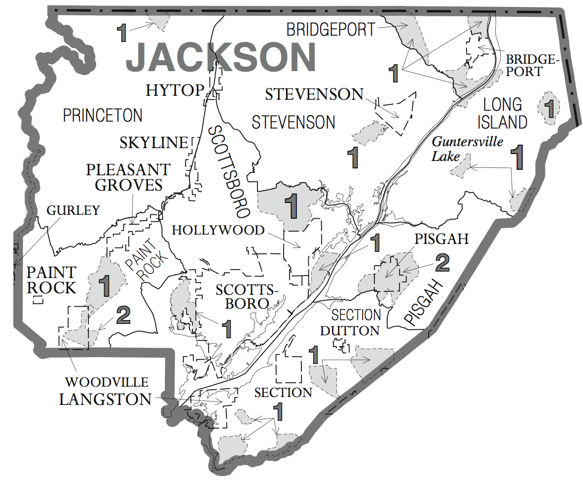
  • 2008-06-10 20:46 Nuberger13 1182×974× (334330 bytes) {{Information |Description=Map of [[Jackson County, Alabama]], USA. |Source=U.S. Federal Gov't. census maps (http://www.census.gov/geo/www/maps/cousub2k_maps.htm), specifically the Alabama maps (http://ftp2.census.gov/geo/maps/general_ref/cousub_outline/c

File history

Click on a date/time to view the file as it appeared at that time.

Date/TimeThumbnailDimensionsUserComment
current11:55, 19 February 2011Thumbnail for version as of 11:55, 19 February 20111,182 × 974 (326 KB)File Upload Bot (Magnus Manske) {{BotMoveToCommons|en.wikipedia|year={{subst:CURRENTYEAR}}|month={{subst:CURRENTMONTHNAME}}|day={{subst:CURRENTDAY}}}} {{Information |Description={{en|Map of en:Jackson County, Alabama, USA.}} |Source=Transferred from [http://en.wikipedia.org en.wi
The following pages on the English Wikipedia use this file (pages on other projects are not listed):

Global file usage

The following other wikis use this file: