File:Junction Fault 0112.jpg
Image copyleft:
Image taken by me, released under GFDL, Pollinator 06:08, Dec 25, 2004 (UTC)
| Camera location | | View this and other nearby images on: OpenStreetMap |
|---|
| This file is licensed under the Creative Commons Attribution-Share Alike 3.0 Unported license. Subject to disclaimers. | ||
| ||
| This licensing tag was added to this file as part of the GFDL licensing update. |

|
Permission is granted to copy, distribute and/or modify this document under the terms of the GNU Free Documentation License, Version 1.2 or any later version published by the Free Software Foundation; with no Invariant Sections, no Front-Cover Texts, and no Back-Cover Texts. A copy of the license is included in the section entitled GNU Free Documentation License. Subject to disclaimers. |
Click on a date/time to view the file as it appeared at that time.
| Date/Time | Thumbnail | Dimensions | User | Comment | |
|---|---|---|---|---|---|
| current | 10:08, 17 December 2007 | 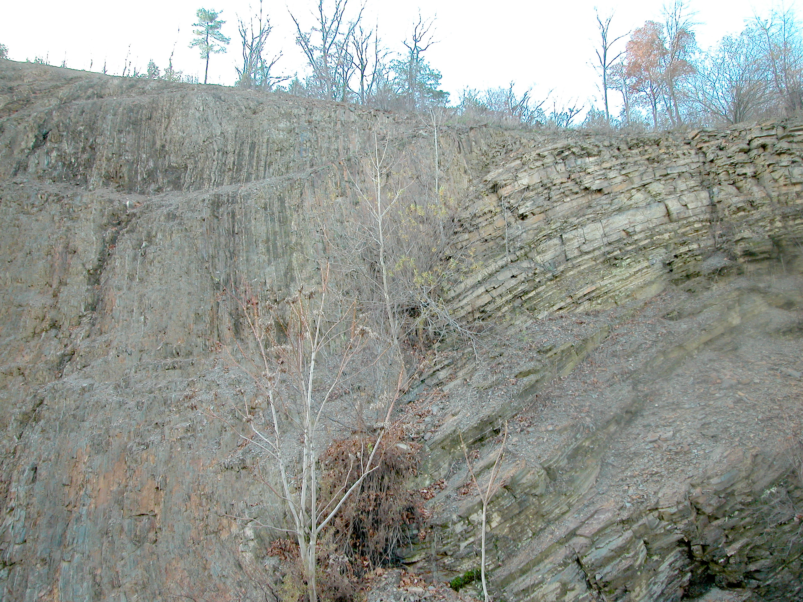 | 2,560 × 1,920 (3.88 MB) | File Upload Bot (Magnus Manske) | {{BotMoveToCommons|en.wikipedia}} {{Information |Description={{en|Dividing fault between Appalachian Mountains and Allegheny Plateau A major geologic fault (directly behind small trees) can be seen in a new roadcut about 10 miles north of [[:en:Williams |
The following 3 pages use this file:
The following other wikis use this file: