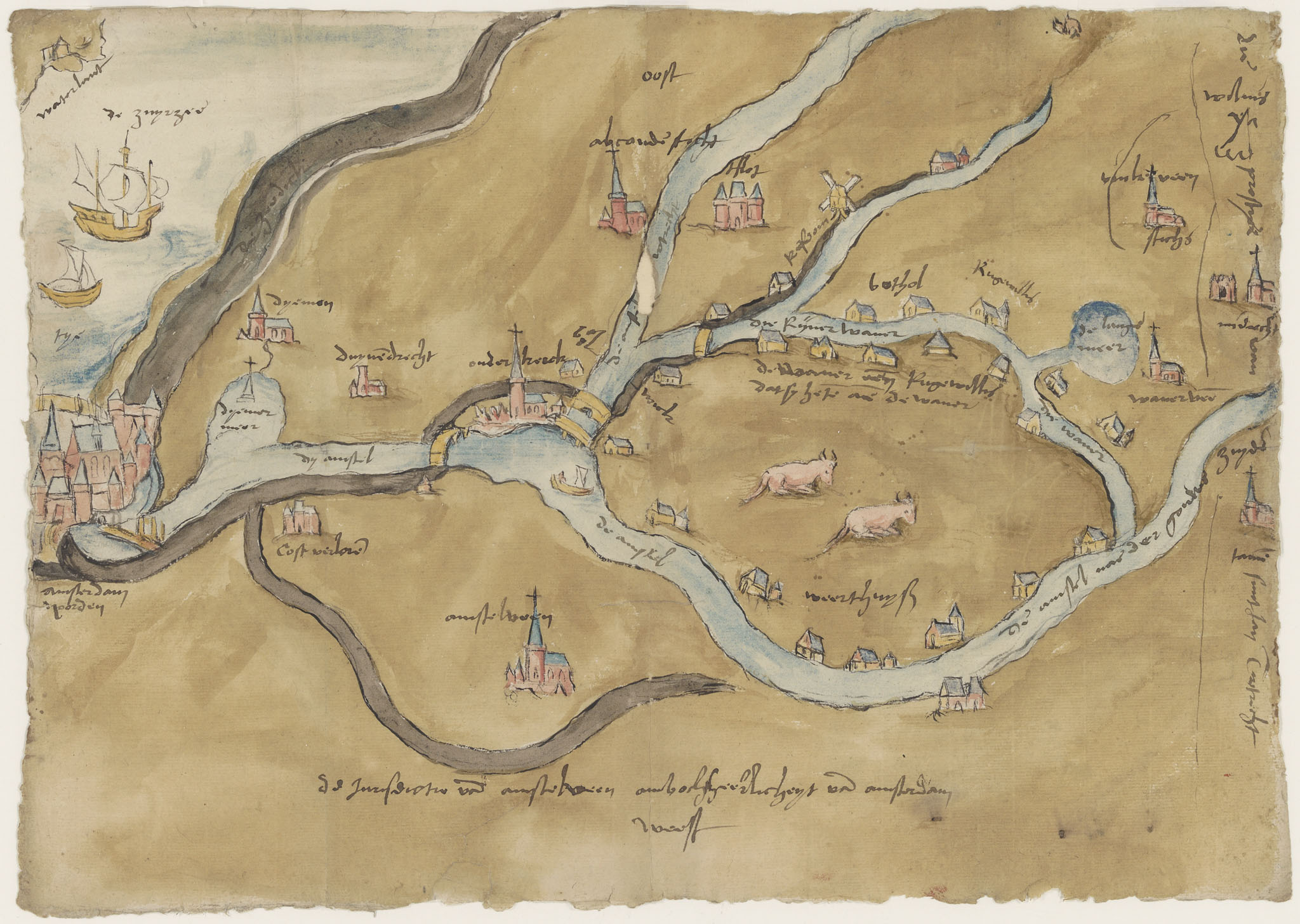
File:Kaart Van Het Noordelijke Stroomgebied Van De Amstel.jpg
top left:
References
Regionaal Archief Dordrecht, as Kaart van het noordelijke stroomgebied van de Amstel: linksonder Amsterdam, linksboven de Zuiderzee en Waterland, rechtsboven Mijdrecht, between 1 January 1570 and 31 December 1580, pen en penseel in kleur.
Source/Photographer
beeldbank.regionaalarchiefdordrecht.nl : Home : Info : Pic
waterlant
top left:
De zuyrzee
center left:
tye
top center:
ooſt
bottom center:
weſt
center:
ouderkerck
bottom left:
amſterdam / Noorden
center:
de Waever aende Ruge willis / dat sy heten aen de waver
Licensing
|
This work is in the public domain in its country of origin and other countries and areas where the copyright term is the author's life plus 100 years or fewer. | |
| This file has been identified as being free of known restrictions under copyright law, including all related and neighboring rights. | |
