File:Karte-Limburg-Stadtteile.png

|
This map has been made or improved in the German Kartenwerkstatt (Map Lab). You can propose maps to improve as well.
|
|
|
This map has been made or improved in the German Kartenwerkstatt (Map Lab). You can propose maps to improve as well.
|
Click on a date/time to view the file as it appeared at that time.
| Date/Time | Thumbnail | Dimensions | User | Comment | |
|---|---|---|---|---|---|
| current | 21:00, 27 April 2011 | 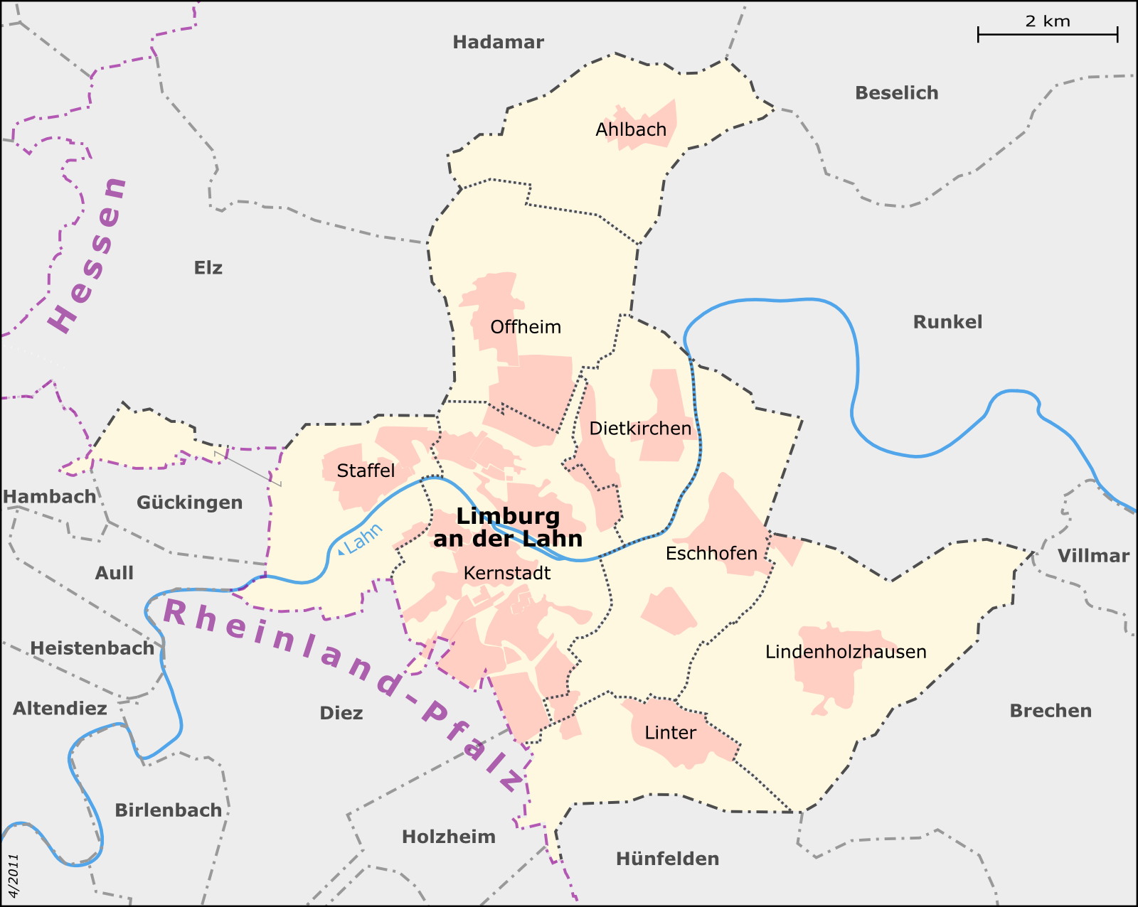 | 1,600 × 1,276 (351 KB) | Muns | Stadteilgrenzen korrigiert, Grenzdarstellung, vgl. Diskussion in der Kartenwerkstatt |
| 21:32, 17 April 2011 |  | 1,790 × 1,428 (441 KB) | Muns | Ländernamen etwas abgetönt | |
| 21:28, 17 April 2011 |  | 1,801 × 1,436 (446 KB) | Muns | Grenzen vereinheitlicht, Platzierung Kernstadt | |
| 13:01, 16 April 2011 |  | 1,800 × 1,436 (429 KB) | Muns | {{Information |Description={{en|1=Map of Limburg an der Lahn's city districts}} {{de|1=Karte der Limburger Stadtteile}} This map was created from OpenStreetMap project data, collected by the community.<br/><small>This map may be incomplete, and may |
The following page uses this file:
The following other wikis use this file: