File:Karte Oscarsborg.png
Click on a date/time to view the file as it appeared at that time.
| Date/Time | Thumbnail | Dimensions | User | Comment | |
|---|---|---|---|---|---|
| current | 00:29, 9 June 2015 | 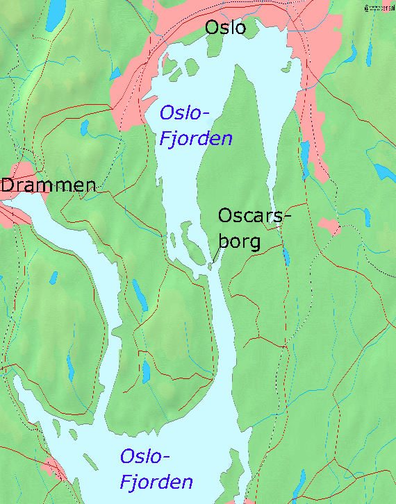 | 570 × 726 (79 KB) | Cmdrjameson | Compressed with pngout. Reduced by 94kB (54% decrease). |
| 19:23, 7 April 2005 |  | 570 × 726 (173 KB) | Markus Schweiss | Map refined with help of a norwegian wikipedian and his nautical chart of this area, sent by E-Mail to me {{GFDL}} | |
| 04:32, 4 April 2005 |  | 570 × 726 (173 KB) | Markus Schweiss | Map correction {{GFDL}} | |
| 20:48, 3 April 2005 |  | 570 × 726 (173 KB) | Markus Schweiss | Correction of the map, {{GFDL}} | |
| 20:24, 3 April 2005 |  | 570 × 726 (173 KB) | Markus Schweiss | Map of the Oslofjord and the fortress of Oscarsborg, Source of Map: [http://www2.demis.nl/mapserver/mapper.asp] {{GFDL}} Category:Norwegian history |
File usage
The following pages on the English Wikipedia use this file (pages on other projects are not listed):
Global file usage
The following other wikis use this file:
- Usage on azb.wikipedia.org
- Usage on bg.wikipedia.org
- Usage on da.wikipedia.org
- Usage on de.wikipedia.org
- Usage on fr.wikipedia.org
- Usage on hr.wikipedia.org
- Usage on hu.wikipedia.org
- Usage on id.wikipedia.org
- Usage on it.wikipedia.org
- Usage on ja.wikipedia.org
- Usage on mk.wikipedia.org
- Usage on nl.wikipedia.org
- Usage on nn.wikipedia.org
- Usage on no.wikipedia.org
- Usage on pl.wikipedia.org
- Usage on sr.wikipedia.org
- Usage on sv.wikipedia.org
- Usage on vi.wikipedia.org
- Usage on zh-yue.wikipedia.org
- Usage on zh.wikipedia.org