File:Kayamkulam Kayal Openstreetmap.png
Summary
| Description |
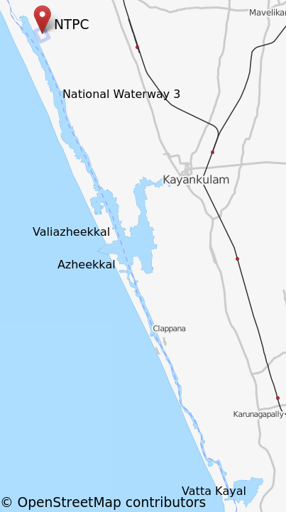
English: Kayamkulam kayal plot using openmapstreet.org. I added a few markers. OpenStreetMap data is released under Open Data Commons Open Database License (ODbL). Cartography in the map tiles licensed under the Creative Commons Attribution-ShareAlike 2.0 license (CC-BY-SA).
See http://www.openstreetmap.org/copyright for more details. |
| Source | http://www.openstreetmap.org/export.html#map=12/9.1328/76.5174&layers=T |
| Author | OpenStreetMap |
| Permission (Reusing this file) |
http://www.openstreetmap.org/copyright |
Licensing
| Description |
This map was created from OpenStreetMap project data, collected by the community. This map may be incomplete, and may contain errors. Don't rely solely on it for navigation. |
|||
| Date | (see file history) | |||
| Source | openstreetmap.org | |||
| Creator |
OpenStreetMap contributors |
|||
| Permission (Reusing this file) |
OpenStreetMap data is available under the Open Database License (details). Map tiles are licensed under the Creative Commons Attribution-ShareAlike 2.0 license (CC-BY-SA 2.0).
This file is licensed under the Creative Commons Attribution-Share Alike 2.0 Generic license.
|
|||
| Georeferencing | If inappropriate please set warp_status = skip to hide. |