File:Kentmere Mine.jpg
Click on a date/time to view the file as it appeared at that time.
| Date/Time | Thumbnail | Dimensions | User | Comment | |
|---|---|---|---|---|---|
| current | 18:48, 18 March 2006 | 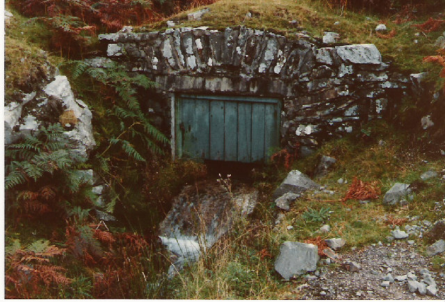 | 640 × 434 (126 KB) | Amatire | {{geograph|67241|Dave Smethurst}} Disused underground mine in Kentmere. Adit level, now used as a water supply. Near Browfoot. ({{gbmapping|NY455005}}) |
File usage
The following page uses this file: