Loading
  • 21 Aug, 2019

  • By, Wikipedia

File:Kochi Jewish Synagogue C.jpg

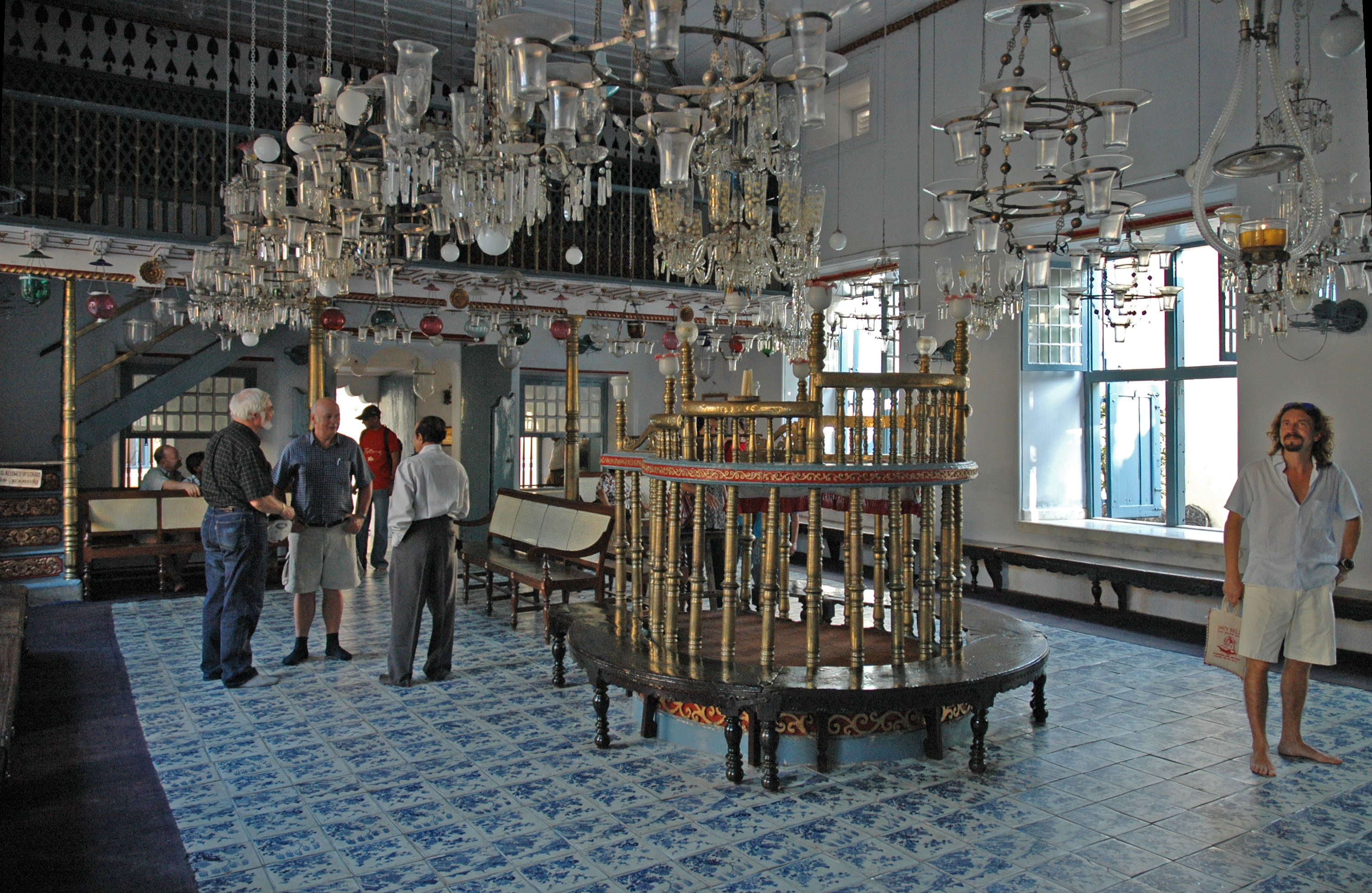
Inside paradesi (white jews of Kochi) Jewish Synagogue. Other photo's:

Camera location9° 57′ 37.43″ N, 76° 15′ 23.2″ E Kartographer map based on OpenStreetMap.View this and other nearby images on: OpenStreetMapinfo
Date Source Own work Author Wouter Hagens Permission
(Reusing this file)
Public domain I, the copyright holder of this work, release this work into the public domain. This applies worldwide.
In some countries this may not be legally possible; if so:
I grant anyone the right to use this work for any purpose, without any conditions, unless such conditions are required by law.

Captions

Add a one-line explanation of what this file represents

Items portrayed in this file

depicts

6 January 2005

9°57'37.429"N, 76°15'23.198"E

File history

Click on a date/time to view the file as it appeared at that time.

Date/TimeThumbnailDimensionsUserComment
current21:51, 10 March 2007Thumbnail for version as of 21:51, 10 March 20073,002 × 1,954 (1.03 MB)Wouterhagens{{Information |Description=Inside Jewish Synagogue {{coor dms|9|57|37.43|N|76|15|23.20|E|scale:3000}}.<br>Other photo's: <gallery> Image:Kochi_Jewish_Synagogue_B.jpg Image:Kochi_Jewish_Synagogue_A.jpg </gallery> |Source=own work |Date=2005-01-06 |Author=[
The following pages on the English Wikipedia use this file (pages on other projects are not listed):

Global file usage

The following other wikis use this file:

Metadata