File:Korea-Gyeongju-Map Of Mountains And Drainage-02.png
| This is a retouched picture, which means that it has been digitally altered from its original version. The original can be viewed here: Gyeongjumts.png:
|
I, the copyright holder of this work, hereby publish it under the following license:
| |
This work has been released into the public domain by its author, Example, at the [[::|English Wikipedia]] project. This applies worldwide. In case this is not legally possible: |
Original upload log
This image is a derivative work of the following images:
- File:Gyeongjumts.png licensed with PD-user-w
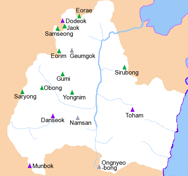
- 2009-09-16T19:29:10Z File Upload Bot (Magnus Manske) 635x595 (63420 Bytes) {{BotMoveToCommons|en.wikipedia|year={{subst:CURRENTYEAR}}|month={{subst:CURRENTMONTHNAME}}|day={{subst:CURRENTDAY}}}} {{Information |Description={{en|Mountains and drainage patterns of [[:en:Gyeongju|]] City, South Korea.
Uploaded with derivativeFX