File:Kullorsuaq-island-aerial.jpg
Click on a date/time to view the file as it appeared at that time.
| Date/Time | Thumbnail | Dimensions | User | Comment | |
|---|---|---|---|---|---|
| current | 16:35, 18 March 2011 | 3,872 × 700 (1.7 MB) | Citypeek | automatic white balance | |
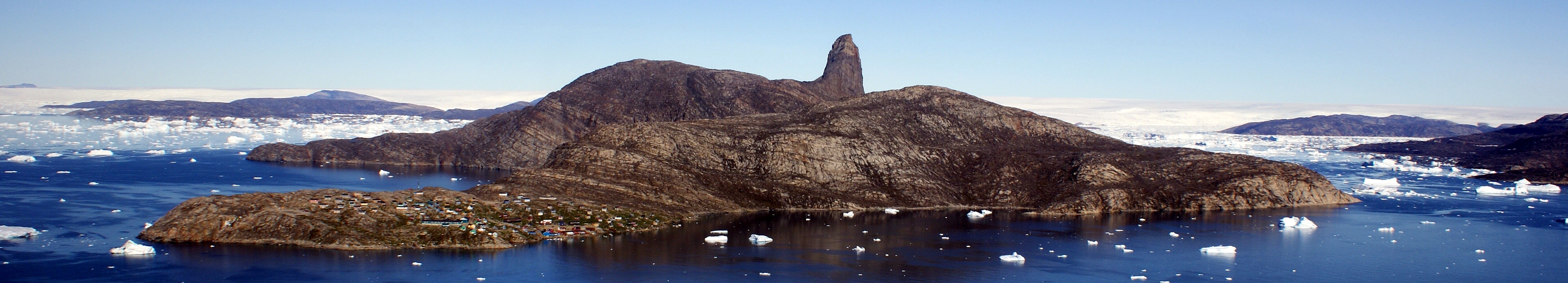
| 04:47, 3 September 2010 | 3,872 × 700 (869 KB) | Algkalv | {{Information |Description=Aerial view of Kullorsuaq Island, Nunatarsuaq, Nunatakassak, and Sermersuaq (Greenland icesheet). Melville Bay, Upernavik Archipelago, Greenland. Photographed from the Air Greenland Bell 212 during the Kullorsuaq-Nuussuaq flight |
File usage
The following pages on the English Wikipedia use this file (pages on other projects are not listed):
Global file usage
The following other wikis use this file:
- Usage on de.wikipedia.org
- Usage on nl.wikipedia.org
- Usage on uk.wikipedia.org