File:LageRungholt.png
Click on a date/time to view the file as it appeared at that time.
| Date/Time | Thumbnail | Dimensions | User | Comment | |
|---|---|---|---|---|---|
| current | 01:29, 7 October 2010 | 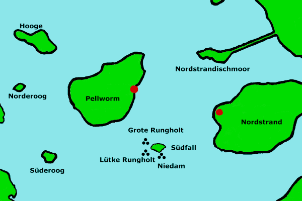 | 600 × 400 (62 KB) | File Upload Bot (Magnus Manske) | {{BotMoveToCommons|de.wikipedia|year={{subst:CURRENTYEAR}}|month={{subst:CURRENTMONTHNAME}}|day={{subst:CURRENTDAY}}}} {{Information |Description={{de|Karte der archäologischen Fundorte Rungholts bei der Hallig Südfall. Eigene Grafik, steht hiermit unt |
File usage
The following page uses this file:
Global file usage
The following other wikis use this file:
- Usage on da.wikipedia.org
- Usage on de.wikipedia.org
- Usage on frr.wikipedia.org
- Usage on it.wikipedia.org
- Usage on ru.wikipedia.org