File:Langa Map.jpg
Original upload log
The original description page was
here . All following user names refer to en.wikipedia.
Date/Time
Dimensions
User
Comment
2010-07-25 07:26:13
327 × 257
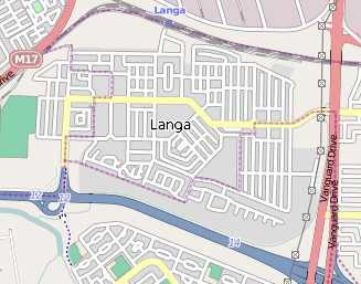
Discott {{Information |Description = This map of Langa in Cape Town was created from OpenStreetMap project data, collected by the community |Source = http://www.openstreetmap.org/ |Date = ~~~~~ |Author = OpenStreetMap contributors
English Add a one-line explanation of what this file represents
File history
Click on a date/time to view the file as it appeared at that time.
Date/Time Thumbnail Dimensions User Comment current 21:05, 11 October 2017 327 × 257 (117 KB) AntiCompositeNumber Transferred from en.wikipedia (MTC! ) (1.1.0)
File usage
The following pages on the English Wikipedia use this file (pages on other projects are not listed):
Global file usage
The following other wikis use this file:
Usage on af.wikipedia.org
Usage on ca.wikipedia.org
Usage on de.wikipedia.org
This file contains additional information, probably added from the digital camera or scanner used to create or digitize it.
If the file has been modified from its original state, some details may not fully reflect the modified file.