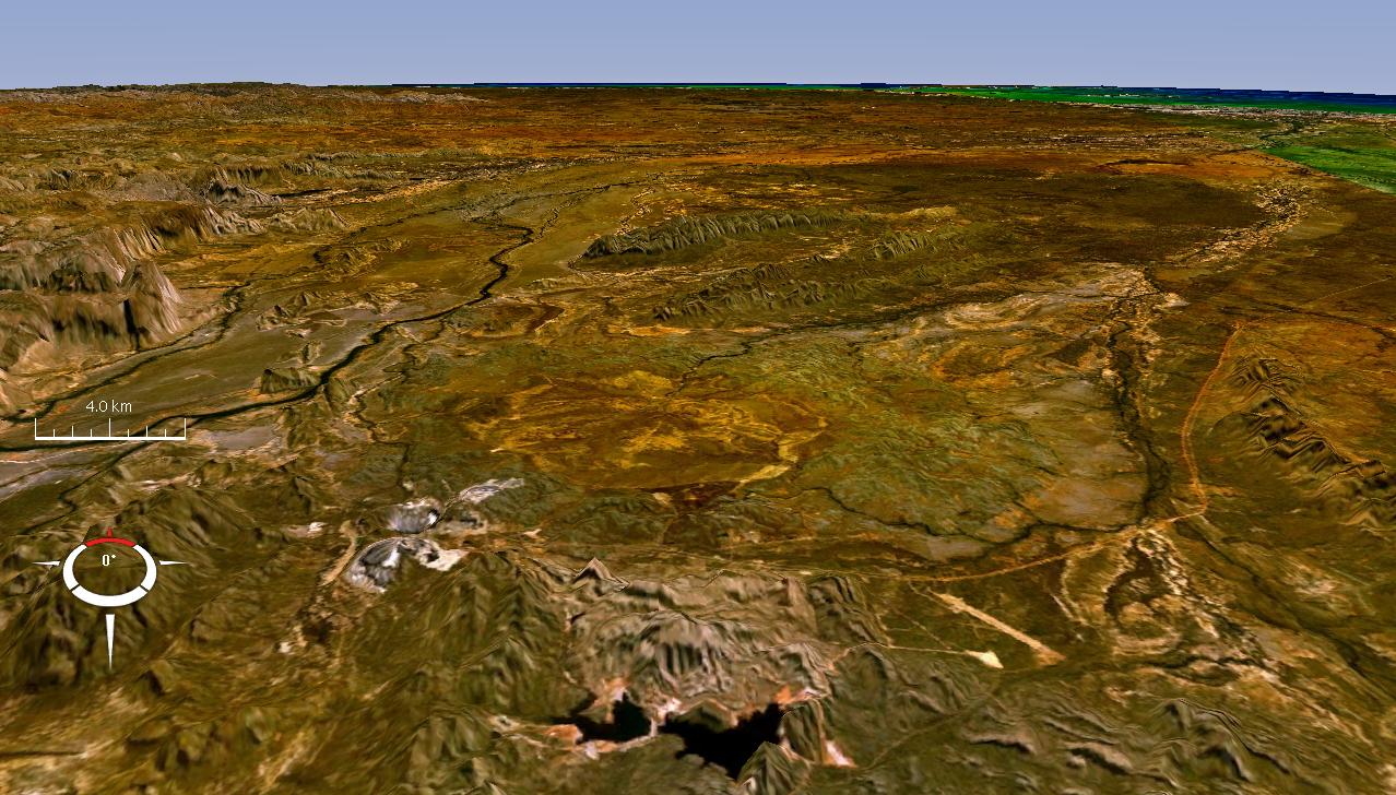
Oblique Landsat image draped over digital elevation model (x10 vertical exaduration), Lawn Hill crater (circular depression in centre); screen capture from NASA World Wind
Licensing
Public domainPublic domainfalsefalse
This image is in the public domain because it is a screenshot from NASA’s globe software World Wind using a public domain layer, such as Blue Marble, MODIS, Landsat, SRTM, USGS or GLOBE.
Oblique Landsat image draped over digital elevation model (x10 vertical exaduration), Lawn Hill crater (circular depression in centre); screen capture from NASA World Wind
File usage
The following pages on the English Wikipedia use this file (pages on other projects are not listed):
