File:Lesotho Topography.png
Click on a date/time to view the file as it appeared at that time.
| Date/Time | Thumbnail | Dimensions | User | Comment | |
|---|---|---|---|---|---|
| current | 20:19, 29 June 2007 | 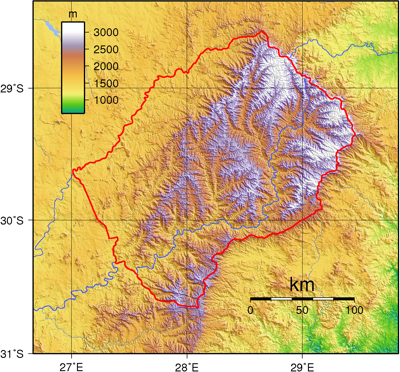 | 1,330 × 1,236 (3.25 MB) | Sadalmelik | {{Information |Description=Topographic map of Lesotho. Created with GMT from public domain SRTM data. |Source=self-made |Date=June 29, 2007 |Author= Sadalmelik }} Category:Maps of Lesotho Category:Topographic maps of Africa |
File usage
The following pages on the English Wikipedia use this file (pages on other projects are not listed):
Global file usage
The following other wikis use this file:
- Usage on af.wikipedia.org
- Usage on ar.wikipedia.org
- Usage on avk.wikipedia.org
- Usage on bg.wikipedia.org
- Usage on ca.wikipedia.org
- Usage on de.wikipedia.org
- Usage on de.wikivoyage.org
- Usage on fa.wikipedia.org
- Usage on fr.wikipedia.org
- Usage on he.wikipedia.org
- Usage on hu.wikipedia.org
- Usage on it.wikipedia.org
- Usage on mdf.wikipedia.org
- Usage on nn.wikipedia.org
- Usage on no.wikipedia.org
- Usage on pt.wikibooks.org
- Usage on ru.wikipedia.org
- Usage on uk.wikipedia.org
- Usage on vep.wikipedia.org