File:Location Map Oakland.png
Click on a date/time to view the file as it appeared at that time.
| Date/Time | Thumbnail | Dimensions | User | Comment | |
|---|---|---|---|---|---|
| current | 06:59, 24 September 2010 | 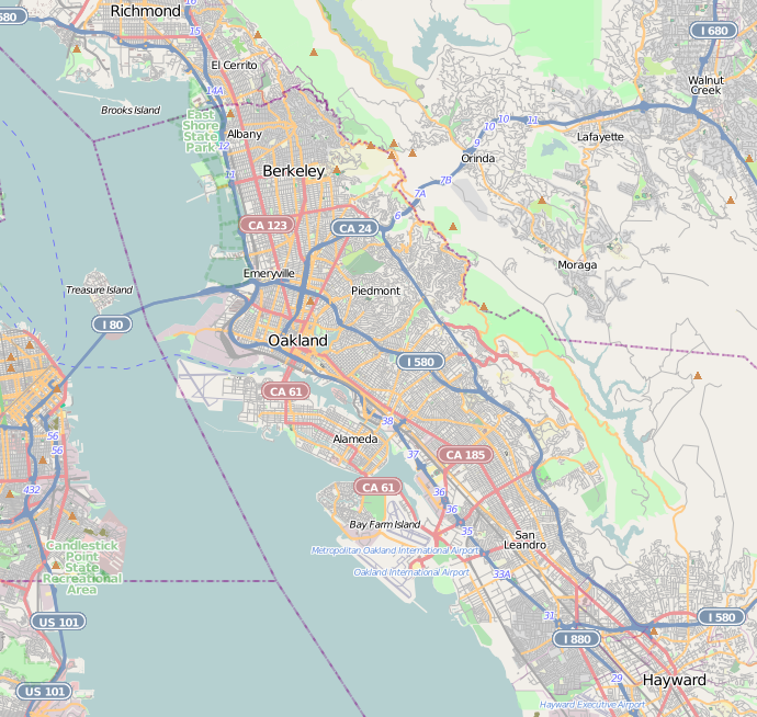 | 690 × 654 (459 KB) | Zzyzx11 | {{OpenStreetMap |location=Oakland, California |top=37.94 |bottom=37.654 |left=-122.421 |right=-122.039 }} Category:OpenStreetMap maps of the United States |
File usage
More than 100 pages use this file. The following list shows the first 100 pages that use this file only. A full list is available.
- 10th Street Market
- 555 City Center
- African American Museum and Library at Oakland
- Alameda High School
- Alameda Terminal
- Alameda Works Shipyard
- Anthony Chabot Regional Park
- Bank of America Building (Oakland)
- Basilica of St. Joseph, Alameda
- Berkeley, California
- Berkeley Art Museum and Pacific Film Archive
- Berkeley City Club
- Berkeley Marina
- Berkeley Public Library
- Berkeley Zen Center
- Bowles Hall
- Briones Regional Park
- California Hall (UC Berkeley)
- California School for the Blind
- Camino of Rancho San Antonio
- Cathedral of Christ the Light (Oakland, California)
- Chabot Space and Science Center
- China Clipper flight departure site
- Civic Center, Oakland, California
- Claremont Canyon Regional Preserve
- Clorox Building
- Cloyne Court Hotel
- College of California
- Congregation Beth Israel (Berkeley, California)
- Cragmont, Berkeley, California
- Croll Building
- Doe Memorial Library
- Donald and Helen Olsen House
- Downtown Berkeley, Berkeley, California
- Downtown Oakland Historic District
- Dr. Aurelia Reinhardt Redwood Regional Park
- Dunsmuir House
- East Oakland, Oakland, California
- Eden Congregational Church
- Elihu M. Harris State Office Building
- Emeryville Crescent State Marine Reserve
- Emeryville Shellmound
- Episcopal Church of the Good Shepherd (Berkeley, California)
- First Church of Christ, Scientist (Berkeley, California)
- First Presbyterian Church Sanctuary Building
- Founders' Rock
- Fox Oakland Theatre
- Frank H. Ogawa Plaza
- Glenview, Oakland, California
- Greek Orthodox Church of the Assumption
- Green Shutter Hotel
- Haas Pavilion
- Hearst Greek Theatre
- Hearst Memorial Mining Building
- Heinold's First and Last Chance Saloon
- Hillside Elementary School
- Huckleberry Botanic Regional Preserve
- Jingletown
- Joaquin Miller House
- Kaiser Center
- Lake Merritt
- Lake Merritt Plaza
- Lakeside Apartments District, Oakland, California
- LeConte Hall
- Lorin District, Berkeley, California
- Martin Luther King Jr. Shoreline
- Masonic Temple (Berkeley, California)
- Masonic Temple and Lodge (Alameda, California)
- Northside, Berkeley, California
- Oakland Arena
- Oakland Ballpark
- Oakland City Hall
- Oakland Coliseum
- Oakland Museum of California
- Oakland firestorm of 1991
- Ohlone Park
- Ordway Building
- Panoramic Hill, Oakland/Berkeley, California
- Paramount Theatre (Oakland, California)
- Pardee Home
- Piedmont Avenue (Berkeley)
- Prescott, Oakland, California
- Rancho San Antonio (Peralta)
- René C. Davidson Courthouse
- Ronald V. Dellums Federal Building
- San Antonio, Oakland, California
- Senior Hall (Berkeley, California)
- South Berkeley Community Church
- Southside, Berkeley, California
- St. John's Presbyterian Church (Berkeley, California)
- Studio Building (Berkeley, California)
- Thorsen House
- Tilden Regional Park
- Tribune Tower (Oakland)
- Trinity Church (Oakland, California)
- UC Theatre
- USS Potomac (AG-25)
- University High School (Oakland, California)
- University House, Berkeley
- Uptown Oakland
View more links to this file.
Global file usage
The following other wikis use this file:
- Usage on ar.wikipedia.org
- Usage on ceb.wikipedia.org
- Usage on fa.wikipedia.org
- Usage on fr.wikipedia.org
- Usage on he.wikipedia.org
- Usage on id.wikipedia.org
- Usage on ja.wikipedia.org
- Usage on kn.wikipedia.org
- Usage on lv.wikipedia.org
- Usage on pl.wikipedia.org
- Usage on pl.wikibooks.org
- Usage on simple.wikipedia.org
- Usage on si.wikipedia.org
- Usage on th.wikipedia.org
- Usage on tr.wikipedia.org
- Usage on ur.wikipedia.org
- Usage on uz.wikipedia.org
- Usage on vi.wikipedia.org
View more global usage of this file.