File:Location Map Southern San Diego.png
Click on a date/time to view the file as it appeared at that time.
| Date/Time | Thumbnail | Dimensions | User | Comment | |
|---|---|---|---|---|---|
| current | 03:47, 19 December 2010 | 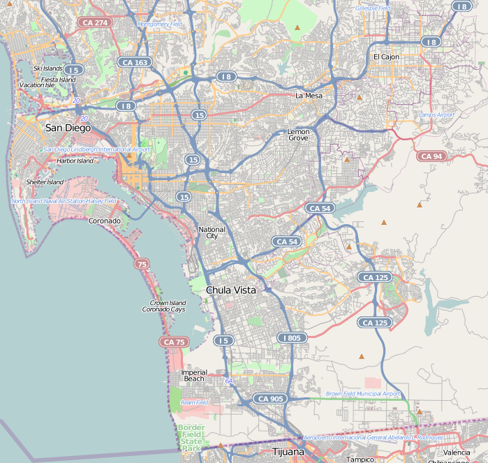 | 699 × 663 (500 KB) | Zzyzx11 | {{OpenStreetMap |location=Southern San Diego |top=32.831 |bottom=32.526 |left=-117.265 |right=-116.883 }} Category:OpenStreetMap maps of the United States Category:Maps and diagrams of San Diego, California |
File usage
The following 41 pages use this file:
- Alta Vista, San Diego
- Bay Terraces, San Diego
- Broadway Heights, San Diego
- Chollas View, San Diego
- College Area, San Diego
- Del Cerro, San Diego
- ENS 700 Field
- Egger Highlands, San Diego
- Emerald Hills, San Diego
- Encanto, San Diego
- Grant Hill, San Diego
- Grantville, San Diego
- Initial Point of Boundary Between U.S. and Mexico
- Jamacha, San Diego
- Lincoln Park, San Diego
- Logan Heights, San Diego
- Lomita, San Diego
- Memorial, San Diego
- Mount Hope, San Diego
- Mountain View, San Diego
- National City, California
- O'Farrell, San Diego
- Oak Park, San Diego
- Otay Mesa, San Diego
- Paradise Hills, San Diego
- Redwood Village, San Diego
- San Carlos, San Diego
- San Ysidro, San Diego
- Shelltown, San Diego
- Sherman Heights, San Diego
- Skyline, San Diego
- South San Diego
- Southcrest, San Diego
- Southeast San Diego
- Stockton, San Diego
- Tierrasanta, San Diego
- United States Custom House (San Ysidro, California)
- Valencia Park, San Diego
- User:LeeRP/Rolando Park, San Diego
- Module:Location map/data/United States San Diego Southern
- Module:Location map/data/United States San Diego Southern/doc
Global file usage
The following other wikis use this file:
- Usage on ar.wikipedia.org
- Usage on azb.wikipedia.org
- Usage on ceb.wikipedia.org
- Usage on es.wikipedia.org
- Usage on fa.wikipedia.org
- Usage on kn.wikipedia.org
- Usage on si.wikipedia.org
- Usage on tr.wikipedia.org
- Usage on uz.wikipedia.org
- Usage on war.wikipedia.org