File:Lumberton-Laurinburg CSA.png
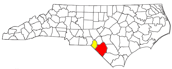
Locator map of the Lumberton-Laurinburg Combined Statistical Area in the southern part of the U.S. state of North Carolina. The two components of the CSA are colored separately:
Date
Source
Author
User:Nyttend
Permission
(Reusing this file)
Modified from this United States Census Bureau file, based on the following Census definitions lists:
(Reusing this file)
US Government work is public domain, and my work is
| I, the copyright holder of this work, release this work into the public domain. This applies worldwide. In some countries this may not be legally possible; if so: I grant anyone the right to use this work for any purpose, without any conditions, unless such conditions are required by law. |