Click on a date/time to view the file as it appeared at that time.
| Date/Time | Thumbnail | Dimensions | User | Comment |
|---|
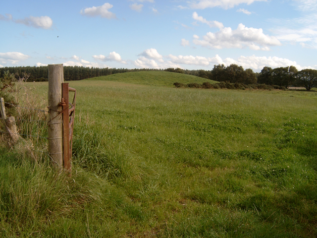
| current | 15:49, 1 February 2010 |  | 640 × 480 (361 KB) | GeographBot | == {{int:filedesc}} == {{Information |description={{en|1=Macbeth's Hillock (2.5km from Brodie Castle) Macbeth's Hillock (49m) lies between an area known as the Hardmuir and the A96 (Inverness to Aberdeen trunk road), about 2.5km south-west of Brodie Castl |
The following page uses this file:
The following other wikis use this file:
- Usage on es.wikipedia.org
- Usage on ml.wikipedia.org
- Usage on pa.wikipedia.org
This file contains additional information, probably added from the digital camera or scanner used to create or digitize it.
If the file has been modified from its original state, some details may not fully reflect the modified file.
_-_geograph.org.uk_-_246182.jpg&action=edit&withJS=MediaWiki:Catcheck.js)
_-_geograph.org.uk_-_246182.jpg)