File:Mali Gao.png
Click on a date/time to view the file as it appeared at that time.
| Date/Time | Thumbnail | Dimensions | User | Comment | |
|---|---|---|---|---|---|
| current | 19:56, 12 July 2012 | 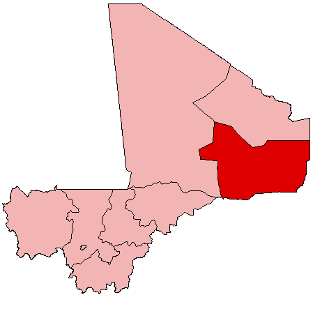 | 449 × 443 (5 KB) | MGA73bot2 | {{BotMoveToCommons|en.wikipedia|year={{subst:CURRENTYEAR}}|month={{subst:CURRENTMONTHNAME}}|day={{subst:CURRENTDAY}}}} == {{int:filedesc}} == {{Information |description={{en|1=Map of Mali showing Gao Region; created with the GIMP. Made by [[:en:User:A... |
File usage
The following pages on the English Wikipedia use this file (pages on other projects are not listed):
- Anchawadi
- Ansongo
- Ansongo Cercle
- Bakal, Gao Region
- Bamba, Gao Region
- Bara, Gao Region
- Bourem
- Bourem Cercle
- Bourra
- Djebock
- Forgo Sourhai
- Gabero
- Gao
- Gao Cercle
- Gao International Airport
- Gao Region
- Gounzoureye
- Haoussa Foulane
- Koïma
- La Dune Rose
- Labbezenga
- N'Tillit
- Ouattagouna
- Sony Aliber
- Taboye
- Talataye
- Tarkint
- Tassiga
- Temera, Gao Region
- Tessit
- Tilemsi, Gao
- Tin-Hama
- Tine Aouker
- Wabaria
- User:Cobblet/Watched pages
- Wikipedia:WikiProject Mali/Regional commune templates
- Template:Communes of the Gao Region
- Template:Gao-geo-stub
- Category:Populated places in Gao Region
Global file usage
The following other wikis use this file: