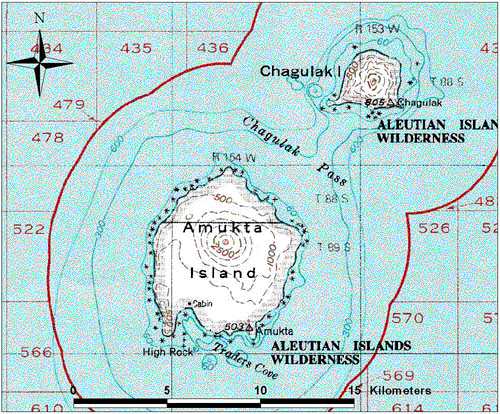
File:Map Amutka.gif
Map of Amukta Island in Alaska, USA
Modified from USGS 1:250000 scale topographic geotiff files.
This image is in the public domain in the United States because it only contains materials that originally came from the United States Geological Survey, an agency of the United States Department of the Interior. For more information, see the official USGS copyright policy.
|