File:Map Elk Chase Kansas.jpg
Click on a date/time to view the file as it appeared at that time.
| Date/Time | Thumbnail | Dimensions | User | Comment | |
|---|---|---|---|---|---|
| current | 09:57, 25 June 2009 | 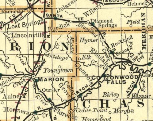 | 499 × 397 (63 KB) | Polargeo | {{Information |Description={{en|1=Part of a map of Kansas. Showing the ghost town Elk on the border between Chase County and Marion County. Image from an 1893 Map.}} |Source=http://alabamamaps.ua.edu/historicalmaps/us_states/kansas/index.html |Author=Chic |
File usage
The following pages on the English Wikipedia use this file (pages on other projects are not listed):
Global file usage
The following other wikis use this file:
- Usage on ar.wikipedia.org
- Usage on fa.wikipedia.org
- Usage on ja.wikipedia.org
- Usage on simple.wikipedia.org
- Usage on www.wikidata.org
- Usage on zh.wikipedia.org