Click on a date/time to view the file as it appeared at that time.
| Date/Time | Thumbnail | Dimensions | User | Comment |
|---|
| current | 14:51, 13 September 2008 |  | 420 × 516 (36 KB) | Ruhrfisch | Cleanup, all other information the same |
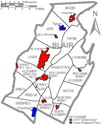
| 13:39, 19 May 2007 |  | 420 × 516 (36 KB) | Ruhrfisch | == Summary == {{Information| |Description= Map of Blair County, Pennsylvania, United States with township and municipal boundaries |Source= taken from US Census website [http://www2.census.gov/geo/maps/general_ref/cousub_outline/cen2k_pgsz/pa_cosub.pdf] |
| 21:00, 18 May 2007 |  | 420 × 516 (36 KB) | Ruhrfisch | {{Information |Description=Map of Blair County Pennsylvania With Municipal and Township Labels.png |Source= taken from US Census website [http://www2.census.gov/geo/maps/general_ref/cousub_outline/cen2k_pgsz/pa_cosub.pdf] and modified by [[User:Ruhrfisch] |
| 13:26, 8 April 2006 |  | 420 × 516 (38 KB) | Ruhrfisch | Map of Blair County, Pennsylvania, United States with township and municipal boundaries is taken from US Census website [http://www2.census.gov/geo/maps/general_ref/cousub_outline/cen2k_pgsz/pa_cosub.pdf] and modified by User:Ruhrfisch in April 2006. |


