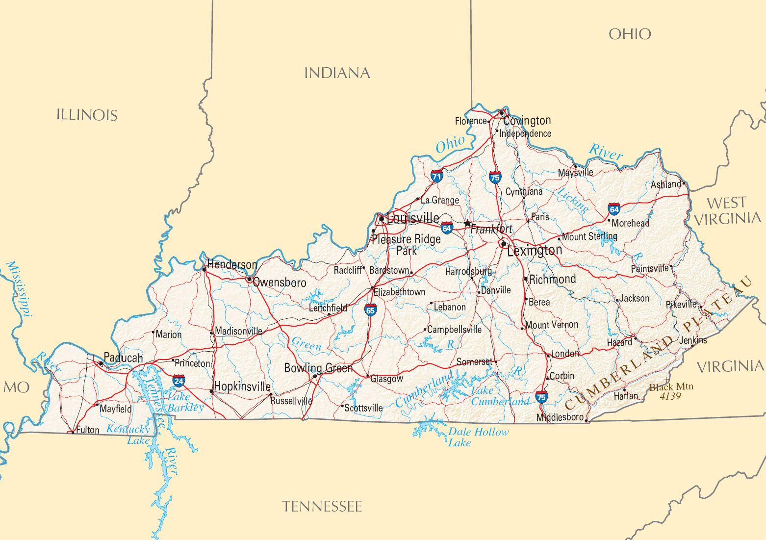
File:Map Of Kentucky NA (cropped).png
National Atlas of the United States
Author
National Atlas of the United States
Permission
(Reusing this file)
Public domain
Other versions
- Page: http://www.nationalatlas.gov/printable/reference.html#Kentucky
- Map: http://www.nationalatlas.gov/printable/images/pdf/reference/pagegen_ky.pdf
(Reusing this file)

Licensing
This map was obtained from an edition of the National Atlas of the United States. Like almost all works of the U.S. federal government, works from the National Atlas are in the public domain in the United States.
Online access: NationalAtlas.gov | 1970 print edition: Library of Congress, Perry-Castañeda Library
|
.png)