File history
Click on a date/time to view the file as it appeared at that time.
| Date/Time | Thumbnail | Dimensions | User | Comment | |
|---|---|---|---|---|---|
| current | 00:56, 7 June 2011 | 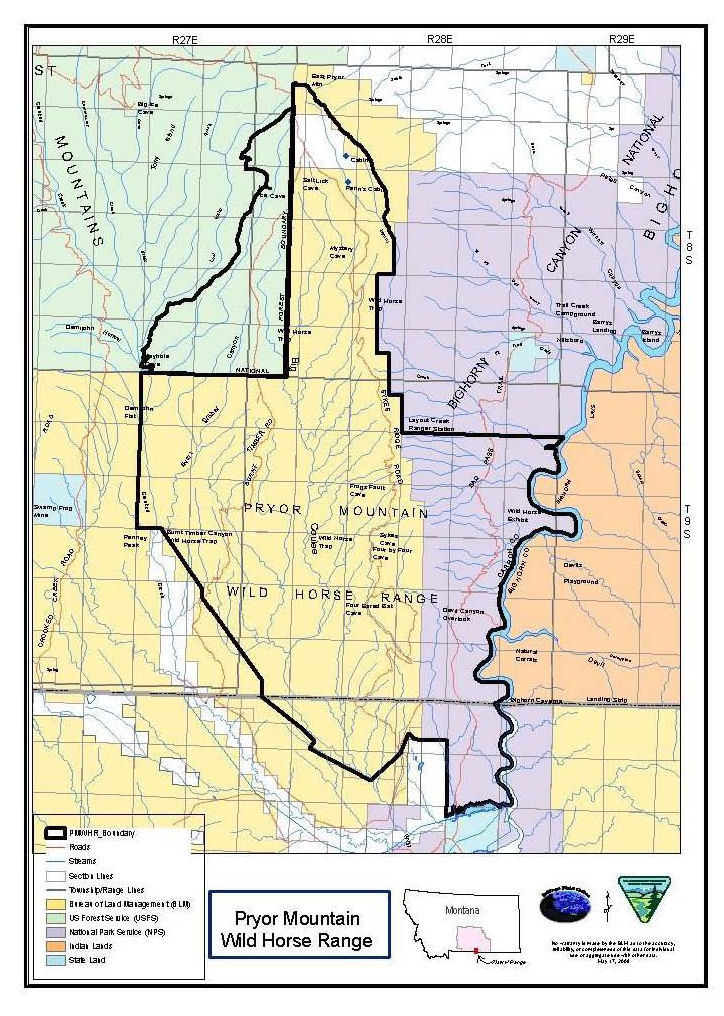 | 724 × 1,016 (225 KB) | Tim1965 | {{Information |Description ={{en|1=Map of the Pryor Mountains Wild Horse Range. The map shows the range as it existed in 2009, lying mostly within the United States state of Montana, with a small portion of the range overlapping into the state of Wyom |
File usage
The following 2 pages use this file: