File:Map Of Putnam County Ohio With Municipal And Township Labels.PNG
Click on a date/time to view the file as it appeared at that time.
| Date/Time | Thumbnail | Dimensions | User | Comment | |
|---|---|---|---|---|---|
| current | 20:41, 26 June 2006 | 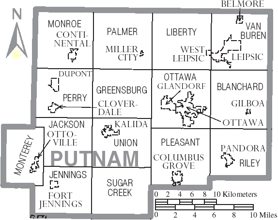 | 574 × 455 (43 KB) | Ruhrfisch | {{Information| |Description= Map of Putnam County, Ohio, United States with township and municipal boundaries |Source= taken from US Census website [http://www2.census.gov/geo/maps/general_ref/cousub_outline/cen2k_pgsz/oh_cosub.pdf] and modified by [[Use |
File usage
The following pages on the English Wikipedia use this file (pages on other projects are not listed):
Global file usage
The following other wikis use this file:
- Usage on de.wikipedia.org
- Usage on es.wikipedia.org
- Usage on fr.wikipedia.org
- Usage on ja.wikipedia.org
- Usage on nl.wikipedia.org
- Usage on pt.wikipedia.org
- Usage on vi.wikipedia.org
- Xã Blanchard, Quận Putnam, Ohio
- Xã Greensburg, Quận Putnam, Ohio
- Xã Jackson, Quận Putnam, Ohio
- Xã Jennings, Quận Putnam, Ohio
- Xã Liberty, Quận Putnam, Ohio
- Xã Monroe, Quận Putnam, Ohio
- Xã Monterey, Quận Putnam, Ohio
- Xã Ottawa, Quận Putnam, Ohio
- Xã Palmer, Quận Putnam, Ohio
- Xã Perry, Quận Putnam, Ohio
- Xã Pleasant, Quận Putnam, Ohio
- Xã Riley, Quận Putnam, Ohio
- Xã Sugar Creek, Quận Putnam, Ohio
- Xã Union, Quận Putnam, Ohio
- Xã Van Buren, Quận Putnam, Ohio