File:Map Of The February 12, 1945 Montgomery, Alabama Tornado.jpg
Legend:
WBAS: U.S. Weather Bureau Airport Station
WBO: U.S. Weather Bureau Office
This image is in the public domain because it contains materials that originally came from the U.S. National Oceanic and Atmospheric Administration, taken or made as part of an employee's official duties.
|
Click on a date/time to view the file as it appeared at that time.
| Date/Time | Thumbnail | Dimensions | User | Comment | |
|---|---|---|---|---|---|
| current | 05:01, 28 May 2023 | 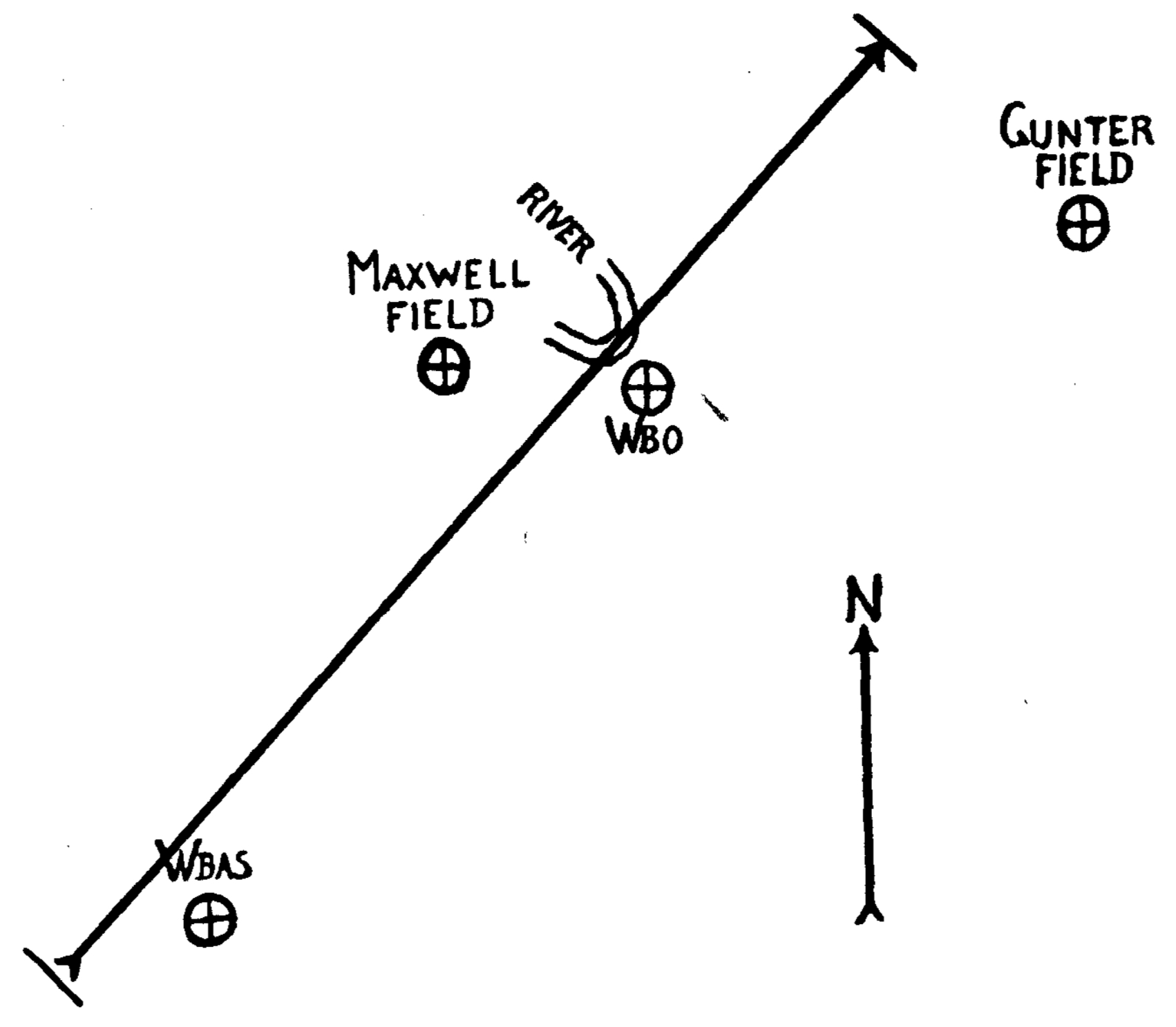 | 1,702 × 1,487 (220 KB) | WeatherWriter | Uploaded a work by F. C. Pate (U.S. Weather Bureau, Montgomery, Alabama) from https://www.jstor.org/stable/26257954 with UploadWizard |
The following 2 pages use this file: